JT Peak

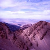
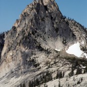
This peak is not in the book. This peak is located near the headwaters of the South Fork Payette River, south of Grandjean. John Platt and I recorded the first ascent of this peak in 2011. It is rated as the 6th-steepest peak in the State of Idaho. The first time I saw this peak was in 1990 (see A … Continue reading
Trinity Mountain

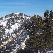
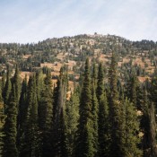
Climbing and access information for this peak is on Page 149 of the book. Updated August 2021 This big peak is a bit civilized with its still staffed fire lookout and a road that leads to the summit. A fire lookout was built on the summit in 1922. The current structure was built in 1956. The road is only open … Continue reading

Ramskull Peak

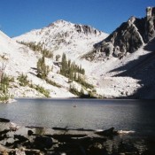
Climbing and access information for this peak is on Pages 125-126 of the book. This peak towers above Harbor and Wilson Lakes. The easiest route on this peak climbs up steeply from its West Ridge with poor opportunities to set protection. I do not know of any attempts on its East or North Faces. USGS Mount McGuire   … Continue reading

Red Rock Mountain

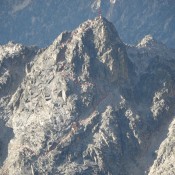
Climbing and access information for this peak is on Page 333 of the book. Set forth below is an extensive update provided by Livingston Douglas which includes three routes. His north ridge route is the first recorded ascent of that ridge. Red Rock Mountain is located 1.2 miles NNW of Mount Jefferson and sits directly on the Continental Divide. Like … Continue reading

Nahneke Mountain

Climbing and access information for this peak is on Page 205 of the book. This is the southwestern most peak in the Sawtooth National Recreation area. The shortest approach is via the Little Queens River Trail which is accessed west of Atlanta, Idaho. USGS Nahneke Mountain   … Continue reading