Climbing and access information for this peak is on Page 130 of the book. This Tango Peak summit, which pales in comparison to its neighbors (Cabin Creek Peak and Mount Loening) is, nevertheless, a worthy goal and a good vantage point midway between its two neighbors. USGS Knapp Lakes … Continue reading
Search Results for: a cl
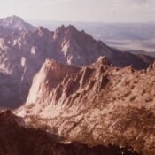
Climbing, history and access information for this peak is on Pages 176-180 of the book. Updated December 2023 The Elephants Perch is the famous western summit of Saddleback Mountain. The Elephants Perch encompasses Idaho’s most famous big wall. It is a complicated granite wall which has attracted climbers for years. The vast majority of climbers approach the peak from Saddleback … Continue reading
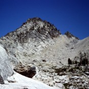
Climbing and access information for this peak is on Page 171 of the book. Some older maps show this peak as Packrat Peak. This error was corrected officially in late 2014. Alpen is a good peak to hit while traversing from Alpine Lake to the Upper Redfish Lakes Basin. USGS Warbonnet Peak … Continue reading
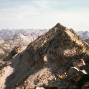
Climbing and access information for this peak is on Pages 204-205 of the book. It has been suggested and historically supported that this peak be named after Arval Anderson. Please refer to the article, Arval Anderson, Early Sawtooth Explorer and Surveyor, in the Idaho Climbing History Section of this website. USGS Mount Everly … Continue reading
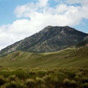
Climbing and access information for this peak is on Pages 287-288 of the book. I have climbed Hawley Mountain 3 times–twice under a full moon in August. It’s a much harder climb than it looks from the base. The peak offers great views from the top. Hawley Mountain is often free of deep snow in early Spring. The 2 routes … Continue reading
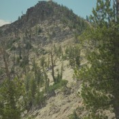
Climbing and access information for Custer Peak is on Pages 131-132 of the book. Custer Peak is located 5 miles east of the Bonanza Creek Guard Station and the Yankee Fork Salmon River. The summit is identified on the Challis National Forest map as Custer Lookout. The defunct lookout is available for public use on first-come basis. Custer Peak, the … Continue reading