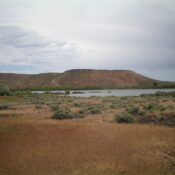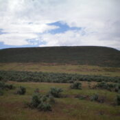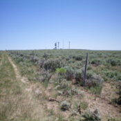
This butte is not in the book. Published November 2024 Hub Butte is located due south of the Twin Falls City/County Airport. This area is a mix of private and public land, so be careful. This climb is entirely on BLM land. USGS Hub Butte Access From US-93 about 13 miles south of Twin Falls, turn east onto[signed] 3100N. Drive … Continue reading
Search Results for: a cl
This butte is not in the book. Published November 2024 Kings Crown is a magnificent block of rock that sits above King Hill Creek at the southwest end of a massive bench. This area is a mix of private and public land, so be careful. This climb is entirely on BLM land. USGS King Hill Access Please refer to Page … Continue reading
This butte is not in the book and privately owned. Published for informational purposes only—November 2024 Pioneer Butte is a ranked summit that sits northeast of Pioneer Reservoir in Gooding County on the north side of I-84. Regrettably, it is located on posted, private land that is closed to the public. USGS Hog Creek … Continue reading
This butte is not in the book and privately owned. Published for informational purposes only—November 2024 Pioneer Butte sits above the Pioneer Reservoir in Gooding County on the north side of I-84. It is located on posted, private land that is closed to the public. USGS Ticeska … Continue reading
This butte is not in the book and privately owned. Published for informational purposes only—November 2024 Gooding Butte is located southwest of Gooding, Idaho. It sits just west of ID-46. Gooding Butte is on private land and has a private ranch with irrigated land on its summit. It is closed to the public. USGS Gooding Butte … Continue reading
This butte is not in the book. Published November 2024 Berger Butte is located just north of Mud Lake on the Snake River Plain. This area is a mix of private and public land, so be careful. This climb is entirely on BLM land. USGS Berger Butte Access From US-93 south of Twin Falls and north of Rogerson (about 15 … Continue reading