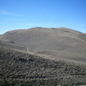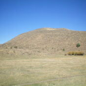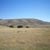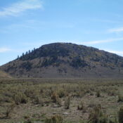
This peak is not in the book. Published January 2023 Peak 6710 is a scrub-and-forest hump that is located just south of Pine Gap and west of Pegram Creek on the Bear Lake Plateau. This area is a mix of private and public land, so be careful. Peak 6710 can be reached entirely on BLM land, but it requires a … Continue reading
Search Results for: a cl
This peak is not in the book. Published January 2023 Peak 6623 is a ridgeline summit that is south of Bear River and east of Road Hollow. There is a massive gas pipeline facility northeast of the summit down in Road Hollow. Peak 6623 can be most easily climbed via its west face from Indian Creek Road. However, given the … Continue reading
This peak is not in the book. Published January 2023 Peak 7091 is a ridgeline summit that sits on the east side of Bear Lake. It separates Bee Hunt Hollow from Cooley Canyon. Its ranked neighbor to the north (Peak 7202) is only slightly higher. This area is a mix of private and public land, so be careful. This climb … Continue reading
This peak is not in the book. Published January 2023 Peak 7202 is a ridgeline summit that sits on the east side of Bear Lake. It separates Indian Creek from Bee Hunt Hollow. Its ranked neighbor to the south (Peak 7091) is only slightly lower. Peak 7202 is most easily climbed via its north ridge from Indian Creek Road. This … Continue reading
This peak is not in the book. Published January 2023 Peak 6648 is located on the north side of US-89 northeast of Geneva Summit and southwest of Geneva. It is located on posted, fenced private ranch land and is closed to the public. USGS Geneva … Continue reading
This peak is not in the book. Published January 2023 Peak 6648 is a minor sagebrush hump that is located southwest of Geneva along US-89. It is most easily climbed from Thomas Fork Road to its west. Peak 6648 is entirely on private land so you must obtain permission from the landowner before undertaking this short climb. USGS Geneva Access … Continue reading