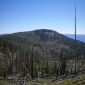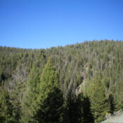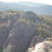
Peak 8954 by Livingston Douglas

This peak is not in the book. This page was updated based on new LiDAR measurements. Updated December 2024 Peak 8954 is a forested peak that is located just west of Yellowjacket Lake in the Yellowjacket Mountains. It has a north face with a sheer drop of over 400 feet. Peak 8954 is overshadowed by its neighbor to the north, … Continue reading
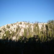
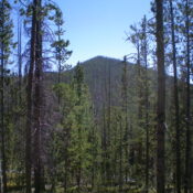
Peak 8313 by Livingston Douglas

This peak is not in the book. Published November 2023 Peak 8313 is a minor hump that is located in the Yellowjacket Mountains. It sits northwest of Yellowjacket Lake and due north of Sugar Loaf (9,045 feet). Peak 8313 is most easily climbed via its east ridge from FSR-114/Yellowjacket Lake Road. USGS Hoodoo Meadows Access From Panther Creek Road, drive … Continue reading

Peak 8817 by Livingston Douglas

This peak is not in the book. Published November 2023 Peak 8817 is a forested hill that is located east of Yellowjacket Lake and southeast of the Bighorn Crags. It is most easily climbed via its north ridge from FSR-114/Yellowjacket Lake Road. This bushwhack is not difficult. USGS Hoodoo Meadows Access From Panther Creek Road, drive west up FSR-112/Porphry Creek … Continue reading

Peak 8764 by Livingston Douglas

This peak is not in the book. Published November 2023 Peak 8764 is a forested hill that is located southeast of the Bighorn Crags and the Crags Campground. It is easily climbed from FSR-113 by either its southeast ridge or, preferably, by its south ridge. The ascent to the top via the south ridge takes only 3-4 minutes in an … Continue reading

Porphry Ridge by Livingston Douglas

This peak is not in the book. Published November 2023 Porphry Ridge HP is the high point on lengthy Porphry Ridge. Unlike its ranked cohorts at the southeast end of Porphry Ridge (Peak 7248, Peak 7112, and Peak 7220), the HP on Porphry Ridge is a wicked bushwhack that sits well off the main north-south ridge crest of the Yellowjacket … Continue reading

Peak 8019 by Livingston Douglas

This peak is not in the book. Published November 2023 Peak 8019 is the high point on a forested subridge that separates Shovel Creek from Yellowjacket Creek. It is most easily climbed from FSR-112 to its east. USGS Blackbird Mountain Access Drive west up FSR-112/Porphry Creek Road for 6.8 miles to a signed, 4-way junction of FSR-112, FSR-113, and FSR-110, … Continue reading