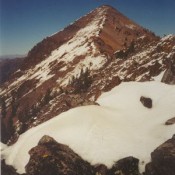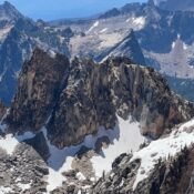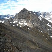
Climbing and access information for this peak is on Pages 282-283 of the book. Cleft Peak is located on the incorruptibleĀ Mount Corruption to Breitenbach Divide, which is arguably the most rugged, cliff- and talus-riddled section of the Lost River Range. USGS Leatherman Peak … Continue reading
Search Results for: a cl
This great peak is situated in the Lost River Range located in the Challis National Forest. At 12,662 feet, it is Idaho’s highest peak and is usually called “Mount Borah,” or just “Borah” by Idahoans. Borah is one of seven 12ers in the Lost River Range. Borah is a complex and attractive mountain with relatively good rock. Even if it … Continue reading
The White Cloud Mountains are discussed on Pages 218-231 of the book. The White Cloud Mountains are located southeast of Stanley in an oval-shaped range that is about 22 miles long and 20 miles wide. The range lies within the boundaries of the Sawtooth National Recreation Area (SNRA). In August 2015, a large portion of the White Clouds Mountains (and … Continue reading
Climbing and access information for this peak is on Page 256 of the book. USGS Star Hope Mine … Continue reading
This peak is not in the book. Published December 2023 Peak 10014 is located on the Heyburn Divide due east of Braxon Peak and northeast of the Aguilles. Surprisingly, while it was climbed at some point, it was overlooked by climbers until LiDAR measurements identified it as exceeding ten thousand feet. USGS Mount Cramer Access Same as for Braxon Peak. … Continue reading
Climbing and access information for this peak is on Pages 322-323 of the book. Published November 2023 Skytop Peak is located on the Continental Divide. It sits above both Skytop Lake (MT) and Timberline Lake (MT). Skytop Peak is most easily climbed via the West Fork Wimpey Creek Road and its southwest ridge/southwest face. USGS Goldstone Pass Access From the … Continue reading