Peak 7442

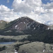
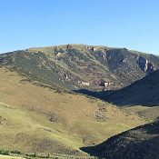
Peak 7442 viewed from the south.

This peak is not in the book. Livingston Douglas contributed additional commentary and photos. Updated December 2020 Peak 7442 is the lowest of the seven peaks surrounding the Sage Creek drainage in the Northern Boulder Mountains. The view of the peaks surrounding the Sage Creek drainage (including Jerry Peak) from the summit is a good reason to climb this peak. … Continue reading
Peak 8923 by Livingston Douglas

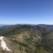
Peak 8932 viewed from Peak 7442.

This peak is not in the book. Updated November 2019 This peak is one of seven peaks that surround the Sage Creek drainage in the northern Boulder Mountains. Peak 8923 is located on the west side of Pecks Canyon and has a LONG South Ridge. The easiest ascent route is via Pecks Canyon Road and the east slopes. The Dean … Continue reading

Peak 9101

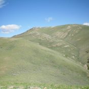
Peak 9101 from Middle Fork Peak.

This peak is not in the book. Published June 2019 This peak is located just north of Middle Fork Peak. The peak has an impressive, rotten Northeast Face which drops down almost vertically for 500 feet and towers over a couple of seldom-visited lakes. USGS Aparejo Point Access See the Middle Fork Peak page South Slopes, Class 2 FST-043 leaves … Continue reading

Spring Hill

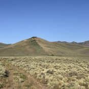
Spring Hill viewed from the north. Derek Percoski Photo

This peak is not in the book. Derek Percoski provided the route information set out below. I added photos and maps from my climb. Livingston Douglas climbed the peak from Peak 9053. His route is set out below. Updated November 2021 Spring Hill is located east of the main Lost River Range Crest, a couple of miles north of Horseheaven … Continue reading

Appendicitis Hill by Livingston Douglas

Appendicitis Hill as viewed from the south. Livingston Douglas Photo

This peak is not in the book. Published June 2019 Appendicitis Hill is located northwest of Arco, Idaho in the easternmost lobe of the Pioneer Mountains. The origin of the name is based on famed USGS surveyor T.M. Bannon who suffered an attack of appendicitis while surveying the peak. USGS Appendicitis Hill Access From US-93 in Moore, ID, drive west … Continue reading

Jureano Mountain by Livingston Douglas and Bing Young

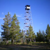
This peak is not in the book. Bing Young provided the historical information for the fire lookout. Livingston Douglas provided the remainder of this page. Livingston provides detailed driving directions below. I note that Google Maps will give you directions, however, it is always wise to check with the Forest Service for current road conditions before using Google Map directions. … Continue reading