Hawley Mountain

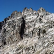
Climbing and access information for this peak is on Pages 287-288 of the book. Steve Mandella added photos and a GPS track showing the two routes set out in the book. Livingston Douglas added photos which highlight the beauty of this peak. Updated November 2024 I have climbed Hawley Mountain three times–twice under a full moon in August. It’s a … Continue reading
Custer Peak (Custer Lookout)

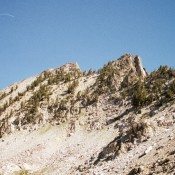
Climbing and access information for Custer Peak is on Pages 131-132 of the book. Custer Peak is located 5 miles east of the Bonanza Creek Guard Station and the Yankee Fork Salmon River. The summit is identified on the Challis National Forest map as Custer Lookout. The defunct lookout is available for public use on first-come basis. Custer Peak, the … Continue reading

Japan Peak

Mayan Temple. John Platt Photo

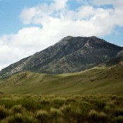
Climbing and access information for this peak is on Page 196 of the book. The peak is misnamed in the book as Mayan Temple. Ray Brooks explained the confusion has extended since 1972. Ray reports “ In Sept. 1972, we did make a nice first ascent of a pinnacle on the ridgeline just north of Japan Peak. We named the … Continue reading

Peak 9820

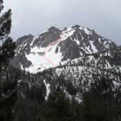
Peak 9820,showing the route up the northeast gully. John Platt Photo

Climbing and access information for this peak is on Page 159 of the book. This peak sits across a spectacular cirque from McGown Peak. While not as popular with climbers, it is every bit as interesting as its more famous neighbor. The route in the book climbs up the Northwest Face. John Platt and Michael Pelton pioneered a new route up … Continue reading