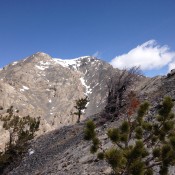
Climbing and access information for this peak is found on Pages 335-336 of the book. Based on recent LiDAR measurements the elevation of this peak 10,279 feet with a prominence of 286 feet. Livingston Douglas pointed out a few errors in the book, noting: —The peak is on the USGS Targhee Peak quadrangle rather than the Targhee Creek quadrangle; —The … Continue reading
Book Updates
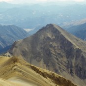
This peak is not in the book. Livingston Douglas provided the Southeast Ridge Route and new photos. Updated November 2022 Paymaster Peak is located on a subsidiary ridge that leaves the main Pioneer Mountains Crest at Big Basin Peak. The ridge divides Hyndman Creek and the East Fork Hyndman Creek. It has four ranked summits. Three of these peaks (McIntyre, … Continue reading
Climbing and access information for this peak is on Page 166 of the book. A seldom-climbed Sawtooth 10er, Baron Peak is worth the effort it takes to reach it. If you make the effort to climb this peak, be sure to leave enough time climb Peak 10330 Moolack Mountain as these two peaks go together like soup and a sandwich, … Continue reading
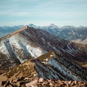
Climbing and access information for this peak is on Page 284 of the book. Updated September 2018 Peak 10297, located by Ferguson Peak and Swauger Lakes, is one of those peaks uniquely situated to provide a 360-degree view of the Lost River Range and Lemhi Range mountains. It’s also a good peak to do after wearing yourself out on Ferguson … Continue reading
Climbing and access information for this peak is on Page 224 of the book. The official name of this peak has been changed from “Blackman” to “Blackmon.” This was based on historical research which I question but, no matter, the name change took effect last year. Use the link below to Dave Pahlas’ trip report for information on a recent … Continue reading
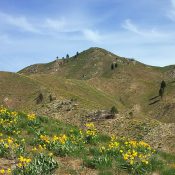
Climbing and access information for this peak is on Page 160 of the book. Merritt Peak has is a big mountain if you take into account its lower southern summit, which can be considered a worthwhile goal independent of the true summit. Below I added photos showing the standard route up the peak. USGS Stanley Lake … Continue reading