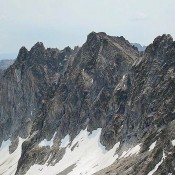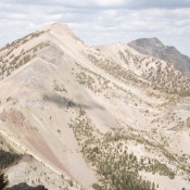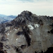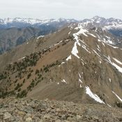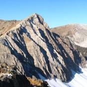
Climbing and access information for this peak is on Page 227 of the book. The high point of the Croesus Peak massif is its West Summit (10,322 feet). The East Summit carries the label “Croesus Peak” on the USGS topo map but is lower in elevation (10,288 feet). USGS Horton Peak See John Platt’s trip report. … Continue reading
Book Updates
Climbing and access information for this peak is on Page 322 of the book. Monument Peak was the first Beaverhead Mountain that I climbed in 1978. I was almost hit by lightning. My route is set out in the book. Livingston Douglas climbed the northwest face and descended the southwest ridge of Monument Peak in 2017. His routes are set … Continue reading
Climbing and access information for this peak is on Page 169 of the book. Mount Iowa, named by the Iowa Mountaineers, sits midway between the more imposing Horstmann Peak and Braxon Peak. Reaching its summit involves significant cross-country travel through beautiful, but difficult, country. USGS Mount Cramer … Continue reading
Climbing and access information for The General is on Page 131 of the book. Livingston Douglas added two photos. Updated December 2024 Located just west of Mount Jordan, The General is one of the best viewpoints in the Frank Church River of No Return Wilderness. USGS Mount Jordan … Continue reading
Climbing and access information for this peak is on Page 166 of the book. This big peak is located just north of Baron Peak and best climbed in conjunction with a climb of Baron Peak due to the time it takes to reach either peak. The origin of the proposed name “Moolack Mountain” is discussed on the SummitPost link. USGS … Continue reading
This peak is not in the book. Livingston Douglas provided the new route information which is set out below. Updated November 2021 Peak 10334 is located 0.8 miles northwest of Rock Roll Peak. It is best climbed via the connecting ridge with Rock Roll Peak. The intervening saddle is at roughly 10,000 feet. There are no major obstacles on the … Continue reading