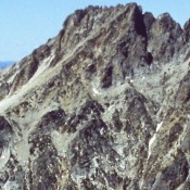
Williams Peak

Climbing and access information for this peak is on Pages 160-161 of the book. The book has three routes listed, Southwest Couloir, Northeast Face and Southeast Slopes. Below you will find a route description for the North Couloir. Two routes not found in the book are set out below. Updated October 2021 Williiams Peak is part of the spectacular backdrop … Continue reading
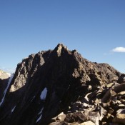
Peak 10650 (Pincer Peak)

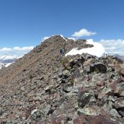
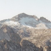
Climbing and access information for this peak is on Page 256 of the book. Pincer Peak is the 220th-highest peak in Idaho. It located due north of Scorpion Mountain. The ridge between the two peaks is passable. See the book or the links below for additional information. USGS Star Hope Mine … Continue reading

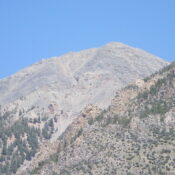
Snowyside Peak

Climbing and access information for this peak is on Page 200 of the book. Snowyside Peak is located along the popular Alice/Toxaway hiking loop. The peak is most often climbed beginning from a point just west of the pass that separates the two lake drainages. A lot of hikers pass by its slopes and more than a few take the … Continue reading

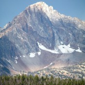
Mickeys Spire

Climbing and access information for this peak is on Pages 162-163 of the book. Mickeys Spire is a misnamed peak as it does not resemble a spire. Nevertheless, it is a ragged, steep peak which takes some effort to climb. USGS Stanley Lake   … Continue reading

Decker Peak

Climbing and access information for this peak is on Page 183 of the book.  One of the most popular peaks in the Sawtooth Range, Decker Peak has been climbed from many directions. USGS Mount Cramer … Continue reading

McGowan Peak

Climbing and access information for this peak is on Pages 266-267 of the book. The book lists the elevation at 10,716 feet. LiDAR measurements list the peak an elevation of 10,721 feet. McGowan Peak, which is the name in local usage, is identified as McGowan Benchmark on the LOJ website. Livingston Douglas added a more detailed description of the book’s … Continue reading