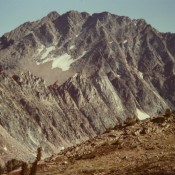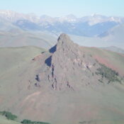
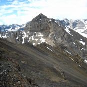
Climbing and access information for this peak (called “Pinnacles Peak” in the book) is on Page 121 of the book. John Platt climbed this seldom-visited peak in 2019. His trip report is linked below. Updated August 2019 The Pinnacles stands out from its neighbors with a rugged summit block, steep towers trending north from the summit, and 1,200 feet of … Continue reading
Search Results for: a cl
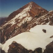
Climbing and access information for this peak is on Pages 282-283 of the book. Cleft Peak is located on the incorruptibleĀ Mount Corruption to Breitenbach Divide, which is arguably the most rugged, cliff- and talus-riddled section of the Lost River Range. USGS Leatherman Peak … Continue reading
This great peak is situated in the Lost River Range located in the Challis National Forest. At 12,662 feet, it is Idaho’s highest peak and is usually called “Mount Borah,” or just “Borah” by Idahoans. Borah is one of seven 12ers in the Lost River Range. Borah is a complex and attractive mountain with relatively good rock. Even if it … Continue reading
The White Cloud Mountains are discussed on Pages 218-231 of the book. The White Cloud Mountains are located southeast of Stanley in an oval-shaped range that is about 22 miles long and 20 miles wide. The range lies within the boundaries of the Sawtooth National Recreation Area (SNRA). In August 2015, a large portion of the White Clouds Mountains (and … Continue reading
Climbing and access information for this peak is on Page 256 of the book. USGS Star Hope Mine … Continue reading
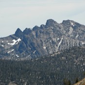
This peak is not in the book. I believe the Native American name, Pia Soko Kentete, is either Bannock or Shoshone. I have not been able to find a translation. The official name replaces the original name, Squawtip, which still resides on most maps. Published November 2024 Pia Soko Kentete is a magnificent piece of rock that is located between … Continue reading