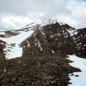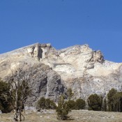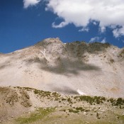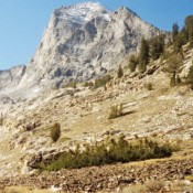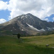
Shadow Lake Peak

Climbing and access information for this peak is on Page 285 of the book. Shadow Lake Peak is a rugged summit in a spectacular setting. It is one of those peaks that looks dominate from the valley but is, in reality, dwarfed by the peaks standing behind it (Ross Peak and USGS Peak). There is no easy way up this … Continue reading

Calkins Peak (Caulkens Peak)

Climbing and access information for this peak is on Pages 220-221 of the book. This peak is now officially known as Calkins Peak and is named for Stephen Calkins (1842-1922), who established lode claims in the area. This White Cloud Mountains peak is a popular peak and easily accessed from The Boulder Chain of Lakes area. USGS Boulder Chain Lakes … Continue reading

Smiley Mountain

Climbing and access information for this peak is on Page 257 of the book. Updated September 2016 Smiley Mountain dominates the southeast end of the Pioneer Mountains. According to the Challis National Forest History the peak was “named for an early-day prospector who discovered a vein of silver, so the story goes, which was rich enough to make him a … Continue reading

Peak 11509 (Cleft Peak)

Climbing and access information for this peak is on Pages 282-283 of the book. Cleft Peak is located on the incorruptible Mount Corruption to Breitenbach Divide, which is arguably the most rugged, cliff- and talus-riddled section of the Lost River Range. USGS Leatherman Peak … Continue reading

Cobb Peak

Climbing and access information for this peak is on Pages 249-250 of the book. Cobb Peak, along with Hyndman Peak and Old Hyndman Peak, form the heart of the main Pioneer Mountain Crest. There are a number of routes on the peak. The Class 3 West Ridge is the most popular route. A photo essay of the West Ridge Route … Continue reading

Glassford Peak

Climbing and access information for this peak is on Pages 236-237 of the book. Glassford Peak is the 42nd-highest Idaho summit. While it is briefly visible from ID-75, its summit is only reached after a long approach hike from the East Fork Salmon River or via a rugged ridge walk from the west. Both options are discussed in the book. … Continue reading