WHITE CLOUD MOUNTAINS

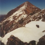
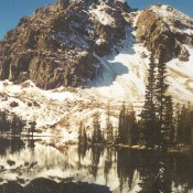
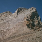
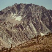
The White Cloud Mountains are discussed on Pages 218-231 of the book. The White Cloud Mountains are located southeast of Stanley in an oval-shaped range that is about 22 miles long and 20 miles wide. The range lies within the boundaries of the Sawtooth National Recreation Area (SNRA). In August 2015, a large portion of the White Clouds Mountains (and … Continue reading
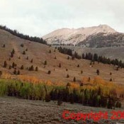
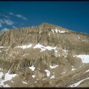
Pyramid Peak

Climbing and access information for this peak is on Page 253 of the book. Pyramid Peak sits due east of Altair Peak and north of Bellas Lakes Basin. The basin is reached by a good trail. USGS Big Black Dome Here are a few photos taken along the route. … Continue reading

Peak 11900 (The Fin)

Climbing and access information for this peak is on Page 254 of the book. The book identifies Point 11887 (which is a spot elevation) as the peak’s true summit. Many who have climbed this peak, myself included, believe that the northernmost high point is the true summit. Derek Percoski  discusses this issue below. Thanks to his work, Lists of John … Continue reading

Peak 10149 (Iron Fish Peak)

This peak is not in the book. Surprisingly, before the second edition was published, no one reported climbing this picturesque peak. Iron Fish Peak is located just west of Iron Bog Lake. The peak is best climbed from the east. From the lake, follow FST-065 [(D)(1)(a) on Pages 260-261] west from Iron Bog Lake to the top of the divide. … Continue reading

Old Hyndman Peak

Climbing and access information for this peak is on Pages 250-251 of the book. Scroll down this page to view many photos and for new route information: (1) Steve Sheriff and Kevin Murray route on the North Ridge and (2) The Travis Michaelis Memorial Route. Old Hyndman Peak is #9 on my list of Favorite Climbs: the East Ridge/East Face Route (Class … Continue reading