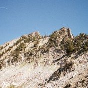
Climbing and access information for this peak is on Page 204 of the book. Blacknose Mountain rises up just north of Queens Pass. The high point is a short, steep, talus climb from the pass. USGS Mount Everly … Continue reading

Climbing and access information for this peak is on Page 204 of the book. Blacknose Mountain rises up just north of Queens Pass. The high point is a short, steep, talus climb from the pass. USGS Mount Everly … Continue reading
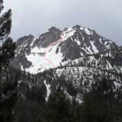
Climbing and access information for this peak is on Page 159 of the book. This peak sits across a spectacular cirque from McGown Peak. While not as popular with climbers, it is every bit as interesting as its more famous neighbor. The route in the book climbs up the Northwest Face. John Platt and Michael Pelton pioneered a new route up … Continue reading
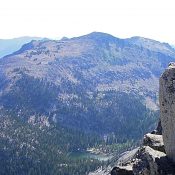
Climbing and access information for this peak is on Page 124 of the book. Judi Steciak has provided new route information below. Dave Pahlas provided route information for the peak’s Southwest Ridge. Dave’s trip report is linked below. Updated September 2019 Sheepeater Mountain is a Bighorn Crag summit that is located due south of Mount McGuire. USGS Mount McGuire West … Continue reading
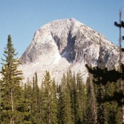
Climbing and access information for this peak is on Pages 202-203 of the book. Mount Everly is a beauty. It is undoubtedly one of the most spectacular peaks in Idaho. It is seldom seen because it takes a long, multi-day hike to reach its base. The peak rises up steeply on all sides, offering a variety of climbing challenges. USGS … Continue reading
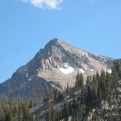
Climbing and access information for Alpine Peak is on Page 159 of the book. Alpine Peak is located just west of Sawtooth Lake. It is an easy scramble to the summit from the lake. USGS Stanley Lake … Continue reading
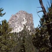
Climbing and access information for this peak is on Page 126 of the book. Livingston Douglas added the first photo. Updated November 2023 Cathedral Rock in the Bighorn Crags is one of Idaho’s most unique and impressive peaks. There are only technical routes to its tiny summit. Surprisingly, few climbers have tested its vertical walls. This is due, in part, … Continue reading