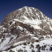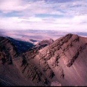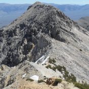
Peak 10744 (Gilmore East)

Gilmore East viewed from Gilmore Peak. John Platt Photo

This peak is not in the book. It is the east summit of officially-named Gilmore Peak. Based on my visual observation, I believed there was a 50/50 chance that it is actually the highest point on the Gilmore Peak massif. My observation was recently confirmed by LiDAR measurements. Gilmore Peak is discussed on Page 304 of the book. For those … Continue reading
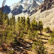
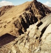
Peak 10744 (Wright Peak)

Climbing and access information for this peak is on Page 297 of the book. Wright Peak is located on the main Lemhi Range Crest south of Buck Lakes Peak. The unofficial name is derived from the peak’s location above Wright Lakes. Rick Baugher climbed this peak in 2000 and found no evidence of previous ascent. More recently, Livingston Douglas provided … Continue reading

Peak 10775 (Buck Lakes Peak)

Climbing and access information for this peak is on Page 297 of the book. Livingston Douglas provides two new route descriptions set out below. Peak 10775 (Buck Lakes Peak) is located on the main Lemhi Range Crest south of Lem Peak. Rick Baugher climbed this peak on October 4, 2000 and found no evidence of a prior ascent. USGS Lem … Continue reading

LEMHI RANGE

The Lemhi Range is discussed on Pages 295-318 of the book. All Lemhi Range peaks included on this website can be found at this link: Lemhi Range Updates. The Lemhi Range is a quintessential linear mountain chain that runs from Salmon, Idaho in a southeasterly direction for over 100 miles to the Snake River Plain. It varies in width from … Continue reading

HENRYS LAKE RANGE

The Henrys Lake Range is a mixture of Paleozoic sedimentary rocks and volcanic materials, including rhyolite and basalt with some Precambrian metamorphic rocks thrown in for good measure. The range, which was forced up with the uplifting of the Rocky Mountains, has most recently been shaped by glaciation and the nearby Henrys Fork and Island Park calderas and the collapsed … Continue reading

CENTENNIAL MOUNTAINS

The Centennial Mountains are discussed on Pages 331-335 of the book. The range forms both the Continental Divide and the Idaho/Montana border for 62 miles, from Monida Pass at I-15 to Red Rock Pass east of Yellowstone National Park. The range is 12 miles wide in places. In the west, the range begins as series of high rolling ridges that … Continue reading