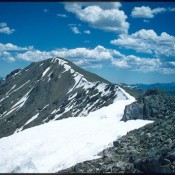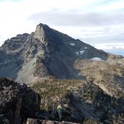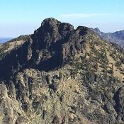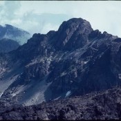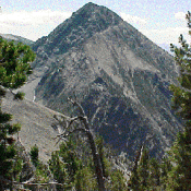
Climbing and access information for Copperhead Peak is on Page 320 of the book. The additional route information found below was provided by Livingston Douglas and Judi Steciak and offers two takes on the Southwest Ridge Route which over the years has become the standard route. Jeff Hunteman provided a GPS track and additional comments on access based on his … Continue reading
Book Updates
Climbing and access information for this peak is on Page 320 of the book. Michael Darcy provided the original route information for reaching the peak from the Montana side. Livingston Douglas provided the updated route information and photos. Updated November 2020 Ajax is an out-of-the-way summit that is well worth the effort to reach. The following information was provided by … Continue reading
The Beaverhead Range is covered on Pages 319-331 of the book. Please note that grizzly bears have been spotted in this range. All of the Beaverhead Range peaks covered by this website can be found at this link: Beaverhead Range Updates. The Beaverhead Mountains form the Idaho/Montana border and the Continental Divide for nearly 200 miles, from Chief Joseph Pass … Continue reading
Climbing and access information for this peak is on Pages 99-100 of the book. The latest official elevation for this peak is 9,420 feet which replaces the prior 9,393-foot measurement. As you will read below, there is a question about whether He Devil or She Devil is the highest peak in the Seven Devils Mountains. Both peaks now have official … Continue reading
Climbing and access information for this peak is on Page 103 of the book. Since I published the book, I have climbed the peak via a new route, descended the route in the book and heard from other climbers about their experiences on the route in the book. So please read below for more details. Advanced route-finding skills are essential … Continue reading
The Seven Devils Mountains extend along the Idaho/Oregon border for roughly 40 miles between the towns of Whitebird and Council. They are bounded by the Snake River on the west and the Salmon and Little Salmon Rivers on the east. The range, which ranks high among Idaho’s mountain chains in terms of ruggedness and scenic quality, is the state’s most … Continue reading