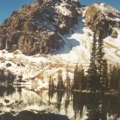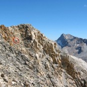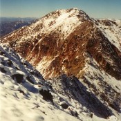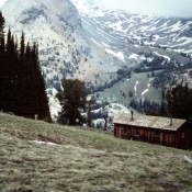
Climbing and access information for this peak is on Page 253 of the book. Pyramid Peak sits due east of Altair Peak and north of Bellas Lakes Basin. The basin is reached by a good trail. USGS Big Black Dome Here are a few photos taken along the route. … Continue reading
Search Results for: a cl
Climbing and access information for this peak is on Page 254 of the book. The book identifies Point 11887 (which is a spot elevation) as the peak’s true summit. Many who have climbed this peak, myself included, believe that the northernmost high point is the true summit. Derek Percoski discusses this issue below. Thanks to his work, Lists of John … Continue reading
This peak is not in the book. Surprisingly, before the second edition was published, no one reported climbing this picturesque peak. Iron Fish Peak is located just west of Iron Bog Lake. The peak is best climbed from the east. From the lake, follow FST-065 [(D)(1)(a) on Pages 260-261] west from Iron Bog Lake to the top of the divide. … Continue reading
Climbing and access information for this peak is on Page 244 of the book. Pat McGrane’s Wildhorse Classics Guide is the definitive reference for technical climbing routes on Devils Bedstead West. The standard route up this beautiful mountain is the West Ridge. The saddle at the bottom of the West Ridge can be reached from Kane Creek but the easiest … Continue reading
Climbing and access information for this peak is on Page 259 of the book. Antares Peak is located NNE of the Garfield Guard Station. USGS Star Hope Mine … Continue reading
By almost any measure, the Pioneer Mountains is Idaho’s premier mountain range. Its peaks are high and wild. The rock is good. The scenic vistas are terrific. The lakes are pristine. The range stretches from west to east between Ketchum and Arco, Idaho covering a distance of nearly 50 miles. At its widest, the range is nearly 25 miles wide. … Continue reading