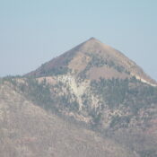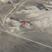
This peak is not in the book. Published December 2024 Reno Point sits at the southern tip of the Beaverhead Mountains on the east side of the Birch Creek Valley. It is most easily climbed from ID-28 to its west. USGS Scott Butte Access From the junction of ID-33 and ID-28 just west of Mud Lake, ID, drive northwest on … Continue reading