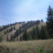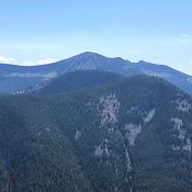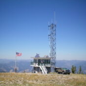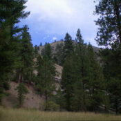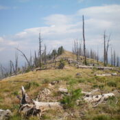
This peak is not in the book. Published November 2023 Peak 8066 is a ridgeline hump on the Continental Divide and the ID/MT border. Years ago, it had a trail to the summit. But that trail is long gone and the peak requires a bushwhack via its northwest ridge or south ridge. USGS Big Hole Pass Access Same as for … Continue reading
Search Results for: a cl
This peak is not in the book. Published November 2023 Eagle Mountain is a forested hump that is located on a high ridgeline west of the Continental Divide in the Beaverhead Mountains. It sits above the confluence of Sheep Creek and Little Sheep Creek. Based on my altimeter measurements, the high point of Eagle Mountain is the south summit (Point … Continue reading
This peak is not in the book. Published November 2023 Peak 6970 sits on a high ridgeline on the east side of Fourth of July Creek in the Beaverhead Mountains. This area is a mix of private and public land, so be careful. It is most easily climbed via its southwest ridge from a public access point at 3.5 miles … Continue reading
This peak is not in the book. Published November 2023 Peak 8910 is a ridgeline hump on the long west ridge of Peak 9681, which sits high on the Continental Divide to its east. The shortest route to the summit is via the north spur and the west ridge. USGS Shewag Lake Access From US-93 north of Salmon, turn right/northeast … Continue reading
This peak is not in the book. Published November 2023 Stein Mountain is a minor bump on the northwest ridge of N Mountain (8,870 feet). It has an active fire lookout. The high point is just east of the fire lookout on an open ridge crest. USGS North Fork Access From US-93 north of Salmon, turn right/northeast onto [signed] Fourth … Continue reading
This peak is not in the book. Published November 2023 Peak 6020 is a ridge hump on the lengthy southwest ridge of Morgan Mountain (8,308 feet). This ridgeline separates Sheep Creek to the south from Lick Creek to the north. Peak 6020 is most easily climbed from Sheep Creek Road. This climb is entirely on National Forest land. USGS Gibbonsville … Continue reading