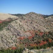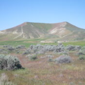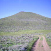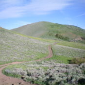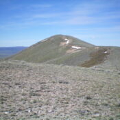
This peak is not in the book. Published November 2022 Peak 6850 is a seldom-climbed peak that is located up a side drainage on the west side of Cow Creek in the Soldier Mountains. This is the first leg of a 2-peak adventure that includes Peak 6850 and Camas Benchmark (6,680 feet). USGS High Prairie Access From US-20 at the … Continue reading
Search Results for: a cl
This peak is not in the book. Published November 2022 Peak 7682 sits above Litz Basin and separates Sugar Creek from Foster Creek. It is a mix of thick forest on its north side and open scrub on its south side. USGS Mapleton Access Same as for Self Help Peak. This is the final leg of a 3-peak adventure that … Continue reading
This peak is not in the book. Published November 2022 Peak 6990 sits above Litz Basin in the Bear River Range. It separates Litz Creek from Foster Creek. Peak 6990 is a rugged, rocky ridgeline peak that stands out as unusual in this area, which is dominated by scrub hills and gentle, rolling terrain. USGS Mapleton Access Same as for … Continue reading
This peak is not in the book. Published November 2022 Sugar Bowl is on private land that is fenced and rigorously posted. It is not open to the public. Sugar Bowl is a handsome hill that sits above the village of King Hill, Idaho. USGS Pasadena Valley … Continue reading
This peak is not in the book. Published November 2022 Peak 7486 is located near the head of the Cove Creek drainage and south of The Narrows. It is most easily climbed via Cove Creek Road to its north. This area is a mix of private and public land, so be careful which route you take. I encountered no signage … Continue reading
This peak is not in the book. Published November 2022 Peak 7620 is located just south of The Narrows in the Cove Creek drainage. It is most easily climbed via Cove Creek Road to its north. This area is a mix of private and public land, so be careful which route you take. This hike is entirely on public land. … Continue reading