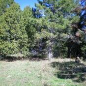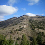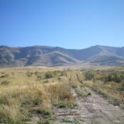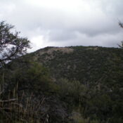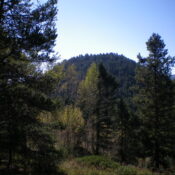
This peak is not in the book. Published November 2023 Peak 7580 is located southeast of Diamond Flat in the Webster Range in eastern Idaho. It sits just north of Boulder Creek and west of Stump Creek. Peak 7580 is most easily climbed from Stump Creek Road/FSR-109 to its east. USGS Diamond Flat Access Same as for Peak 7771. This … Continue reading
Search Results for: a cl
This peak is not in the book. Published November 2023 Peak 7771 is located southeast of Diamond Flat in the Webster Range in eastern Idaho. It sits above Boulder Creek at the south end of a narrow ridgeline. Peak 7771 is most easily climbed from FSR-107 to its west. USGS Diamond Flat Access From ID-34, turn south onto [unsigned] Lanes … Continue reading
This peak is not in the book. Published November 2023 Peak 7572 sits above the confluence of Brush Creek and South Fork Tincup Creek in the Webster Range in eastern Idaho. It is most easily climbed via its west side from FST-048/Crooked Creek Trail. The pine forest in this area is very thick with copious amounts of deadfall and brush. … Continue reading
This peak is not in the book. Published November 2023 Peak 7455 towers over the confluence of the Right Fork Knox Canyon and the Left Fork Knox Canyon in the Deep Creek Mountains. It is most easily climbed via its south ridge from the Right Fork Knox Canyon Road. This area is a mix of private and public land, so … Continue reading
This peak is not in the book. Rick Baugher suggested the name because the Paul Benchmark is located just north of the summit. See Rick’s trip report linked below. Published November 2023 Peak 7241 sits on a north-south ridgeline on the east side of Arbon Valley in southern Idaho. It is most easily climbed from Knox Canyon Road East. Its … Continue reading
This peak is not in the book. Published November 2023 Peak 6660 is a gentle hump that is located on the east side of Arbon Valley. It sits on the north-south border of Power County and Oneida County in southern Idaho. Peak 6660 is most easily climbed from East Bowen Lane to its west. USGS Dairy Creek Access Same as … Continue reading