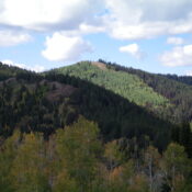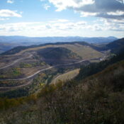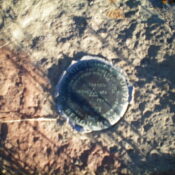
This peak is not in the book. Published January 2023 Smoky Benchmark is a handsome, rocky outcrop that sits above Smoky Canyon in the Webster Range. It is the namesake USGS benchmark in this area, with nearby Smoky Canyon and the active Smoky Canyon Phosphate Mining Operation. Smoky Benchmark is most easily climbed by a forested bushwhack from a saddle … Continue reading
Book Updates
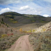
This peak is not in the book. Published January 2023 Peak 8312 is a beautiful ridgeline summit that towers over nearby Smoky Canyon Road. The easiest way to the top is via the southeast shoulder and south ridge, almost completely in open terrain from Smoky Canyon Road. Views from the open summit are magnificent. USGS Stewart Flat Access For the … Continue reading
This peak is not in the book. Published January 2023 Peak 8780 is the high point on ridgeline that sits above, and north of, the headwaters of both Smoky Canyon and Timber Creek. It is most easily climbed via the Webster Ridge Trail/FST-101 and a short bushwhack to the top. USGS Stewart Flat Access From the signed junction of Smoky … Continue reading
This peak is not in the book. Published January 2023 Peak 8010 is a ridgeline summit that is located on the east side of Smoky Canyon in the Webster Range. It is the high point on a ridge with multiple points of almost-equal height. Peak 8010 is the southernmost of the ridge points. Regrettably, this beautiful ridgeline is off limits … Continue reading
This peak is not in the book. Published January 2023 Peak 8301 is a forested hump that sits above the junction of Smoky Canyon Road and the Smoky Canyon Phosphate Mining Road. It provides a birds-eye view of the nearby, active phosphate mining operation to its east. USGS Stewart Flat Access Park in a large parking area on the south … Continue reading
This peak is not in the book. Published January 2023 Books Benchmark is located in the heart of the Webster Range between Manning Creek and Deer Creek. This area is a mix of private and public land. This climb is entirely on public land and it took some work to figure out a route that avoids private land. The more … Continue reading