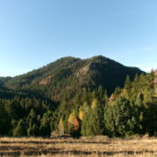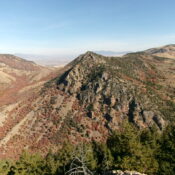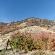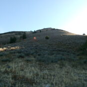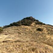
This peak is not in the book. The map elevation is 9,654 feet. Lists of John identifies this peak which sits above Rough Lake as simply “Rough” with no information as to who proposed the name without the word “Peak.” I added “Peak” to the name. Published December 2024 Rough Peak (LiDAR elevation 9,673 feet) sits on a high ridgeline … Continue reading
