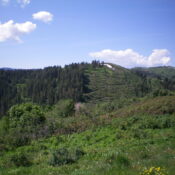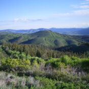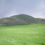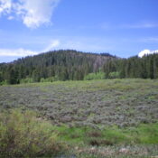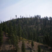
This peak is not in the book. Published November 2023 Peak 6105 is a pyramidal hump that towers over the confluence of Allan Creek, Hughes Creek, and the West Fork Hughes Creek in the Bitterroot Mountains. It is most easily reached via FSR-088 which skirts the base of the west ridge. A short scramble leads to the top. USGS Allan … Continue reading
Search Results for: a cl
This peak is not in the book. Published November 2023 Peak 8140 is a ridgeline summit located due west of Lewis and Clark Ridge. Like its eastern neighbor, it sits on the ID/MT border. Peak 8140 is easily climbed via its southeast ridge from the Forest Service road that traverses the ridge crest. USGS Lost Trail Pass Access Same as … Continue reading
This peak is not in the book. Published November 2023 Peak 7288 sits above the convergence of the two forks of Trail Creek in the Aspen Range. It is entirely on private land that is gated and posted. There are private residences on both its north and south slopes. Consider this peak off-limits. USGS Johnson Creek Map Errors The USGS … Continue reading
This peak is not in the book. Published November 2023 Peak 7493 is a forested summit on Schmid Ridge in the Aspen Range. It is on posted, private land that is monitored by surveillance cameras. Peak 7493 is closed to the public. USGS Dry Valley Access There is an active phosphate mining operation on the west slopes of Peak 7493. … Continue reading
This peak is not in the book. Published November 2023 Peak 7835 is located on the north side of Wood Canyon in the Aspen Range northeast of Soda Springs. The summit is most easily reach via its south side from Wood Canyon Road/FSR-125. It is a short, steep bushwhack in reasonable scrub. USGS Soda Springs Access Park along Wood Canyon … Continue reading
This peak is not in the book. Published November 2023 Peak 7835 is located on the south side of Wood Canyon in the Aspen Range northeast of Soda Springs. The summit is most easily reach via its northeast or east sides from FSR-201, but it is a difficult bushwhack in thick terrain. USGS Johnson Creek Access FSR-201 is located along … Continue reading