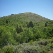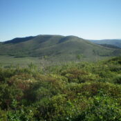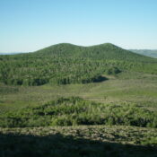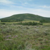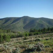
This peak is not in the book. I added Rick Baugher’s trip report which contains interesting historical information. Published January 2023 Camp Peak is the high point on Pelican Ridge on the northeast side of Blackfoot Reservoir. It is most easily reached via Collett Creek Road on its southwest side. USGS Henry Access From ID-34 just north of Henry, turn … Continue reading
Book Updates
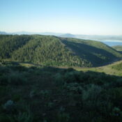
This peak is not in the book. Published January 2023 Peak 6901 is located due south of Camp Peak on the northeast side of Blackfoot Reservoir. It is most easily climbed via Collett Creek Road and its north ridge. USGS Henry Access From ID-34 just north of Henry, turn left/west onto Blackfoot North Access Road (shown as North Reservoir Road … Continue reading
This peak is not in the book. Published January 2023 Peak 7081 is located on the northeast side of Blackfoot Reservoir. It sits southwest of Pelican Ridge and southeast of Gaston Beatty Spring. Peak 7081 is most easily climbed via its west ridge. USGS Henry Access From ID-34 just north of Henry, turn left/west onto Blackfoot North Access Road (shown … Continue reading
This peak is not in the book. Published January 2023 Limerock Mountain is the high point of Wilson Ridge. It is located on the northeast side of Blackfoot Reservoir and is just north of Wilson Pass on State of Idaho land. This is the first leg of a 2-peak journey that includes Limerock Mountain and Crater Mountain (7,073 feet). This … Continue reading
This peak is not in the book. Published January 2023 Crater Mountain is the northernmost point on Pelican Ridge. It is located on the northeast side of Blackfoot Reservoir and is just south of Wilson Pass on State of Idaho land. This is the second leg of a 2-peak journey that includes Limerock Mountain (7,488 feet) and Crater Mountain. This … Continue reading
This peak is not in the book. Published January 2023 Red Mountain is located west of the southernmost extremities of Blackfoot Reservoir. It is a short scramble from Dekay Pit Road to its west. While this area is a patchwork of private and public land, this climb is entirely on BLM land. USGS The Dip Access From Exit 116 (Sunnyside … Continue reading