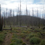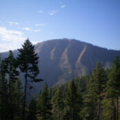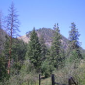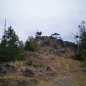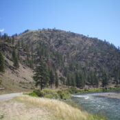
This peak is not in the book. Published November 2023 Indianola Benchmark is located at the southeast end of a narrow ridge that separates Squaw Creek from the Salmon River in the Bitterroot Mountains. It is most easily climbed from the Salmon River Road via its west shoulder. The south side of Indianola Benchmark has some rugged cliffs down near … Continue reading
Search Results for: a cl
This peak is not in the book. Published November 2023 Peak 4550 is situated on a narrow ridge crest between Squaw Creek and the Salmon River in the Bitterroot Mountains. It is most easily climbed from Squaw Creek Road to its northeast. This area is a mix of private and public land, so be careful. This climb is entirely on … Continue reading
This peak is not in the book. Published November 2023 Peak 8435 is located on a ridgeline that separates Spring Creek from East Fork Spring Creek in the Bitterroot Mountains. It is a minor hump on the southeast ridge of Peak 8586. Peak 8435 is most easily climbed via its northwest ridge from FSR-038. USGS Shoup Access From US-93 at … Continue reading
This peak is not in the book. Published November 2023 Peak 6958 is the high point on a forested ridge that separates West Fork Hughes Creek to the north from Hull Creek to the south. The easiest access is via Forest Service roads to its west ridge and a ridge climb to the summit. USGS Allan Mountain Access From US-93, … Continue reading
This peak is not in the book. Published November 2023 Peak 5540 sits above Cummings Lake and separates the West Fork Hull Creek from the South Fork Hull Creek. It is most easily climbed from Hull Creek Road/FSR-005 to its north. This area is a mix of private and public land. This climb is entirely on National Forest land. USGS … Continue reading
This peak is not in the book. Published November 2023 Granite Mountain is a ridge hump on the long southeast ridge of Peak 9007 in the Bitterroot Mountains. It sits between Little Ditch Creek and the North Fork Salmon River. There is a service road to the fire lookout on the summit. USGS Gibbonsville Access From US-93 north of North … Continue reading