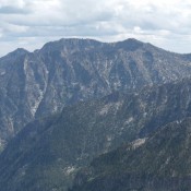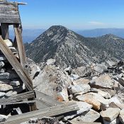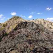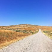
Livingston Douglas provides a complete update of the access and route information as well as additional photos for this desert butte. Updated January 2023 Kimama Butte is a former BLM fire lookout site. As best I can tell, it was manned during the summer from 1937 to 1975. The lookout was demolished in the early 2000s. A road leads to … Continue reading
Search Results for: a cl
This peak is not in the book. This interesting and unnamed Trinity Mountains summit sits just east of Fiddlers Perch and north of Trinity Mountain. I have not climbed the peak, but it looks to be an easy climb, until you reach the summit area (which is festooned with towers), from FST-174. FST-174 runs between Trinity Lakes and Big Lookout … Continue reading
This peak is not in the book. This peak and the surrounding summits may be the most spectacular peaks in the Lick Creek Range. It is undeniable that this area is the most difficult area to access in the Lick Creek Range. Updated October 2018 Peak 9027 is an extremely hard to reach. John Platt and friends climbed the peak … Continue reading
This peak is not in the book. Sunset Peak is located west of the Idaho/Montana border between Canyon Creek to the south and Pritchard Creek to the north. The area between these two drainages saw extensive mineral exploration and logging operations. As a result, this area is penetrated by many roads. You can drive to the summit. The Forest Service … Continue reading
Climbing and access information for this peak is on Page 112 of the book. Updated February 2020 North Loon Mountain is the crown of the Lick Creek Range. It is the 30th-most prominent Idaho summit. It is also a hard peak to reach. The ridge between South Loon Mountain and North Loon Mountain is not just tedious but is full … Continue reading
This peak is not in the book. This page details three routes: Southeast Rib, Headwall, and Livingston Douglas’ East Face/South Ridge Route. Updated November 2022 Peak 10158 is located on the main Smoky Mountain Crest between Camas County High Point and Prairie Creek Peak. Specifically, it is 2.5 miles west-northwest of Norton Peak. The recommended name is Shadow Peak. USGS Galena … Continue reading