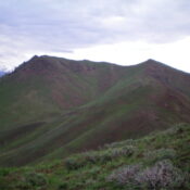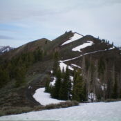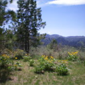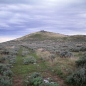
This peak is not in the book. Published November 2023 Turnbull Butte is located just south of Laidlaw Park Road in the desolate southwest section of Craters of the Moon National Monument. It is easily reached via an old 2-track road and a short scramble to the top. USGS North Laidlaw Butte Access From US-20 east of Carey, turn right/south … Continue reading
Search Results for: a cl
This peak is not in the book. Published November 2023 Peak 6628 is a minor bump on a north-south ridgeline that sits on the east side of Jimmie Creek and south of Deer Creek. Due to extensive, posted private land along Deer Creek and the difficult prospect of fording Deer Creek, Peak 6628 is best approached from the south. USGS … Continue reading
This peak is not in the book. Published November 2023 Peak 7254 is the higher of two humps on a high ridge that sits above Lamb Gulch to the south and Osborn Gulch to the east. This area of the Smoky Mountains is just northwest of Hailey. Peak 7254 towers above Deer Creek to the north but the Deer Creek … Continue reading
Peak 8634 is a soft-ranked summit that sits on the northwest ridge of nearby Cup Benchmark (9,147 feet). It is a worthy objective if you plan to also climb nearby Cup Benchmark. The easiest ascent route is via the southeast ridge, most of which has an old 2-track road on it. USGS Buttercup Mountain Access Same as for Peak 8595. … Continue reading
This peak is not in the book. Published October 2023 Osprey Point is located along ID-21 and above the confluence of Mores Creek and Minneha Creek in the Boise Mountains. It is most easily climbed from FSR-238/Minneha Creek Road. The summit is on private land but there is no fencing or signage to prohibit entry. USGS Dunnigan Creek Access Park … Continue reading
This peak is not in the book. Published October 2023 Upper Daggett Point is a thickly-forested hump that sits just south of Clear Creek Summit and southeast of Gardiner Peak (6,500 feet). Due to posted private land, it is no longer accessible from Clear Creek Summit and requires a punishing bushwhack to reach its brushy summit. USGS Robie Creek Access … Continue reading