* Peaks listed in Elevation order; highest to lowest
| Photo | Peak Name | Mountain Range | Elevation | Prominence | Year | Description |
|---|---|---|---|---|---|---|
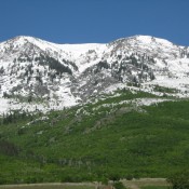
| Oxford Peak | Bannock Range | 9,300 ft | 4030 | 2016 | Climbing and access information for this peak is on Page 356 of the book. Matt Durrant supplied the ... read more |
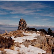
| Elkhorn Peak | Bannock Range | 9,095 ft | 3515 | 2020 | Climbing and access information for this peak, identified as Elkhorn Mountain, is on Page 356 of ... read more |
| Wakley Peak by Livingston Douglas | Bannock Range | 8,801 ft | 741 | Climbing and access information for this peak is on Page 356 of the book. Please check the main read more | ||
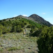
| Old Tom Mountain | Bannock Range | 8,733 ft | 2913 | Climbing and access information for this peak is on Page 356 of the book.
Please be advi ... read more | |
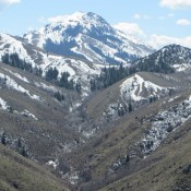
| Scout Mountain | Bannock Range | 8,710 ft | 1240 | Climbing and access information for this peak is on Page 356 of the book. Livingston Douglas provided the ... read more | |
| Peak 8621 (Middle Elk Peak) by Livingston Douglas | Bannock Range | 8,621 ft | 361 | This peak is not in the book. Published November 2018
Peak ... read more | ||
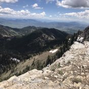
| Peak 8540 (North Kents Peak) by Livingston Douglas | Bannock Range | 8,540 ft | 360 | 2020 | This peak is not in the book. Published November 2018
Peak ... read more |
| Kents Peak by Livingston Douglas | Bannock Range | 8,451 ft | 71 | This peak is not in the book. Published November 2018
Kents ... read more | ||
| Old Baldy Peak by Livingston Douglas | Bannock Range | 8,356 ft | 1256 | Climbing and access information for this peak is on Page 357 of the book. read more | ||
| Peak 8339 | Bannock Range | 8,339 ft | 319 | 2020 | This peak is not in the book. Published June 2020
Peak 8339 is located southeast of Elkh ... read more | |
| Weston Peak by Livingston Douglas | Bannock Range | 8,165 ft | 505 | Climbing and access information for this peak is on Page 357 of the book. read more | ||
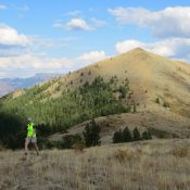
| Goodenough Peak (Peak 8037) by Margo Mandella | Bannock Range | 8,037 ft | 337 | This peak is not in the book. Livingston Douglas added two new routes and updated access information at th ... read more | |
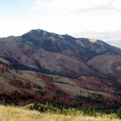
| Peak 8037 | Bannock Range | 8,037 ft | 497 | This peak is not in the book. Margo Mandella and Livingston Douglas each wrote reports on this peak which ... read more | |
| Peak 7870 (Clifton Basin Peak) by Livingston Douglas | Bannock Range | 7,870 ft | 450 | This peak is not in the book. Published November 2019
Northeast Ridge, Class 2... read more | ||
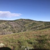
| Samaria Mountain (Wood Benchmark) | Bannock Range | 7,780 ft | 2400 | 2020 | This peak is not in the book but the Samaria Mountains are discussed on Page 357 of the book. Livingston D ... read more |
| Peak 7695 | Bannock Range | 7,695 ft | 515 | 2020 | This peak is not in the book. Livingston Douglas added a new route and additional photos to this entry. Up ... read more |
| Buck Peak 7579 by Livingston Douglas | Bannock Range | 7,579 ft | 519 | This peak is not in the book. Published November 2019
Southwest Face/South Ridge, Cl ... read more | ||
| Peak 7514 by Livingston Douglas | Bannock Range | 7,514 ft | 306 | This peak is not in the book. The map elevation is 7,504 feet. Published December 2024
Tha ... read more | |
| Peak 7480 by Livingston Douglas | Bannock Range | 7,480 ft | 309 | This peak is not in the book. The map elevation is 7,475 feet. Published December 2024
Tha ... read more | |
| Pleasantview Hills HP (John Evans Mountain) | Bannock Range | 7,420 ft | 1440 | This peak is not in the book. Rick Baugher suggested the name to honor Idaho’s last Democrat governor. R ... read more | |
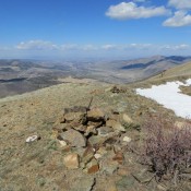
| Indian Mountain by Livingston Douglas | Bannock Range | 7,298 ft | 598 | This peak is not in the book. Updated November 2019
There are 27 points of prominence in ... read more | |
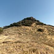
| Peak 7295 (Cherry Creek Peak) by Livingston Douglas | Bannock Range | 7,295 ft | 475 | This peak is not in the book. The name was proposed by Rick Baugher. Published December 2024
... read more | |
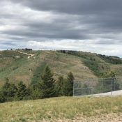
| MLD Benchmark | Pleasantview Hills | 7,271 ft | 571 | 2020 | This peak is not in the book. Published June 2020
This peak is located north of ID-38 an ... read more |
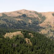
| Rock Knoll by Margo Mandella | Bannock Range | 7,268 ft | 1288 | This peak is not in the book.
Rock Knoll sits south of Pocatello, approximately 5 miles ... read more | |
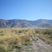
| Peak 7241 (Paul Mountain) by Livingston Douglas | Bannock Range | 7,241 ft | 781 | This peak is not in the book. Rick Baugher suggested the name because the Paul Benchmark is located just n ... read more | |
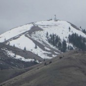
| Kinport Peak | Bannock Range | 7,222 ft | 362 | Climbing and access information for this peak is on Pages 355-356 of the book. There is a lot of additional ... read more | |
| Wild Horse Mountain by Livingston Douglas | Bannock Range | 7,220 ft | 172 | This peak is referenced on Page 356 of the book. Published November 2018
| ||
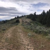
| Peak 7217 | Pleasantview Hills | 7,217 ft | 317 | 2020 | This peak is not in the book. Published June 2020
Peak 7217 is located in at the south e ... read more |
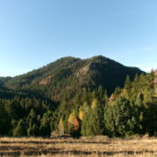
| Peak 7208 by Livingston Douglas | Bannock Range | 7,208 ft | 428 | This peak is not in the book. Published December 2024
Peak 7208 is the highest foothill on ... read more | |
| Peak 7147 by Livingston Douglas | Bannock Range | 7,147 ft | 367 | This peak is not in the book. Published December 2024
Peak 71 ... read more | |
| Peak 7140 by Margo Mandella | Bannock Range | 7,140 ft | 360 | This peak is not in the book.
Peak 7140 sits south of Pocatello in the read more | |
| Peak 7081 (Gibson Mountain) by Margo Mandella | Bannock Range | 7,081 ft | 621 | Peak 7081 is located south of Pocatello, approximately 1.8 miles ESE of read more | |
| Peak 7060 by Margo Mandella | Bannock Range | 7,060 ft | 534 | This peak is not in the book.
Peak 7060 is located south of the city of Pocatello, app ... read more | |
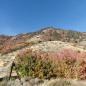
| Peak 7060 (Devil Creek Peak) by Livingston Douglas | Bannock Range | 7,060 ft | 600 | This peak is not in the book. The name was proposed by Rick Baugher. Published December 2024
... read more | |
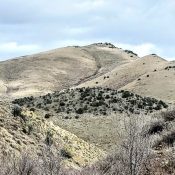
| Peak 7047 by Russ Durrant | Bannock Range | 7,047 ft | 987 | This peak is not in the book. Rick Baugher’s trip report is set out at the bottom of the page. Updated N ... read more | |
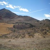
| Peak 7020 by Livingston Douglas | Bannock Range | 7,020 ft | 760 | This peak is not in the book. Published November 2020
Peak 7020 is a stunning ridgeline ... read more | |
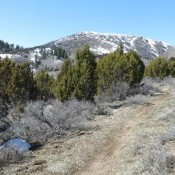
| Slate Mountain | Bannock Range | 6,980 ft | 480 | Climbing and access information for this peak is on Page 356 of the book. There are three important update ... read more | |
| Peak 6980 by Livingston Douglas | Bannock Range | 6,980 ft | 680 | This peak is not in the book. Published November 2023
Peak 6980 is located on a north-so ... read more | |
| Peak 6945 by Livingston Douglas | Bannock Range | 6,945 ft | 685 | This peak is not in the book. Published November 2020
Peak 6945 is on a ridgeline mounta ... read more | |
| Peak 6940 (New Point Peak) by Livingston Douglas | Bannock Range | 6,940 ft | 480 | This peak is not in the book. The name was proposed by Rick Baugher. Published December 2024
... read more | |
| Peak 6910 by Livingston Douglas | Bannock Range | 6,910 ft | 570 | This peak is not in the book. Published November 2019
Peak 6 | |
| Peak 6896 by Livingston Douglas | Bannock Range | 6,896 ft | 307 | This peak is not in the book. This peak has a map elevation of 6,907 feet. Based on read more | |
| Swan Benchmark by Livingston Douglas | Bannock Range | 6,854 ft | 394 | This peak is not in the book. Published December 2024
Swan Benchmark is located on a high ... read more | |
| Walker Benchmark by Livingston Douglas | Bannock Range | 6,852 ft | 352 | This peak is not in the book. Published November 2019
read more | |
| Peak 6840 by Livingston Douglas | Bannock Range | 6,840 ft | 460 | This peak is not in the book. Published November 2019
Peak ... read more | |
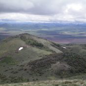
| Peak 6708 by Livingston Douglas | Bannock Range | 6,708 ft | 328 | This peak is not in the book. Published November 2019
Peak ... read more | |
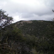
| Peak 6660 by Livingston Douglas | Bannock Range | 6,660 ft | 320 | This peak is not in the book. Published November 2023
Peak 6660 is a gentle hump that is ... read more | |
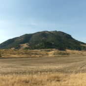
| Peak 6625 (Standing Rock Peak) by Livingston Douglas | Bannock Range | 6,625 ft | 885 | This peak is not in the book. The name was proposed by Rick Baugher due to its proximity to the read more | |
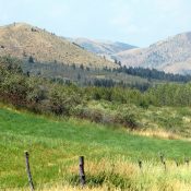
| Peak 6582 | Bannock Range | 6,582 ft | 442 | This peak is not in the book. Margo Mandella and Livingston Douglas provided the access and route informat ... read more | |
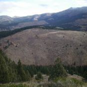
| Peak 6544 by Livingston Douglas | Bannock Range | 6,544 ft | 324 | This peak is not in the book. Published November 2020
Peak 6544 is a minor, forested hum ... read more | |
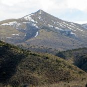
| Peak 6495 | Bannock Range | 6,495 ft | 355 | This peak is not in the book. There are two routes set out below. The first is the north ridge by Margo Ma ... read more | |
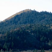
| Peak 6472 | Bannock Range | 6,472 ft | 332 | This peak is not in the book. Margo wrote the original post. read more | |
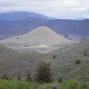
| Cedar Mountain by Livingston Douglas | Bannock Range | 6,380 ft | 675 | This peak is not in the book. Published November 2019
Cedar ... read more | |
| Peak 6358 by Livingston Douglas | Bannock Range | 6,358 ft | 298 | This peak is not in the book. Published November 2020
Peak 6358 sits above the Mink Cree ... read more | |
| Sam Benchmark by Livingston Douglas | Bannock Range | 6,266 ft | 446 | This peak is not in the book. Published January 2023
Sam Benchmark is the high point of ... read more | |
| Peak 6230 by Livingston Douglas | Bannock Range | 6,230 ft | 370 | This peak is not in the book. Published November 2020
Peak 6230 is a small rock-and-fore ... read more | |
| Peak 6156 by Livingston Douglas | Bannock Range | 6,156 ft | 392 | This peak is not in the book. Published January 2023
Peak 6156 is located west of Big Holl ... read more | |
| Peak 5964 by Livingston Douglas | Sublett Range | 5,964 ft | 504 | This peak is not in the book. Published November 2020
Peak 5964 is situated just south o ... read more | |
| Rattlesnake Peak 5915 by Livingston Douglas | Bannock Range | 5,915 ft | 335 | This peak is not in the book. Published November 2019
Rattl ... read more | |
![View of the true summit of Howard Mountain, which is to the left and has only one [albeit very tall] antenna. Photo taken from Point 5833. Livingston Douglas Photo](https://www.idahoaclimbingguide.com/wp-content/uploads/522F3AC4-74A4-4117-9681-4B2F175C856B-175x175.jpeg)
| Howard Mountain by Livingston Douglas | Bannock Range | 5,860 ft | 513 | This peak is not in the book. Published November 2019
Howar ... read more | |
| Peak 5762 | Bannock Range | 5,762 ft | 302 | This peak is not in the book. There are two route descriptions set out below. The first by Livingston Doug ... read more | |
| Peak 5613 by Livingston Douglas | Bannock Range | 5,613 ft | 313 | This peak is not in the book. Published November 2024
Peak 5613 is a minor hump that sits ... read more | |
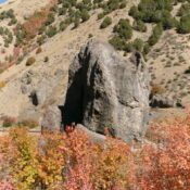
| Standing Rock by Livingston Douglas | Bannock Range | 5,420 ft | 80 | This formation is not in the book. The photo of the informational sign (below) sets for the interesting his ... read more | |

| BANNOCK RANGE | Bannock Range | 0 ft | The Bannock Range is discussed in more detail on Pages 355-359 of the book.
The Bannock ... read more | ||
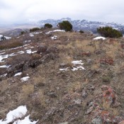
| Malad Range | Bannock Range | 0 ft | The Malad Range is a Great Basin limestone uplift that straddles the Idaho/Utah border. It is tucked into the ... read more | ||

| SAMARIA MOUNTAINS | Bannock Range | 0 ft | The Samaria Mountains are briefly covered in the book on Page 357. Updated June 2020
Thi ... read more | ||
| North Promontory Range | Bannock Range | 0 ft | The name North Promontory Range is sometimes used to identify the southern end of the Malad Range. The name is ... read more |