Elevation: 7,665 ft
Prominence: 840
This peak is not in the book.
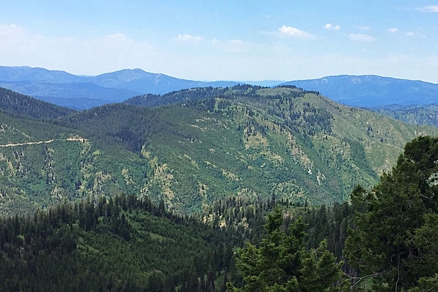
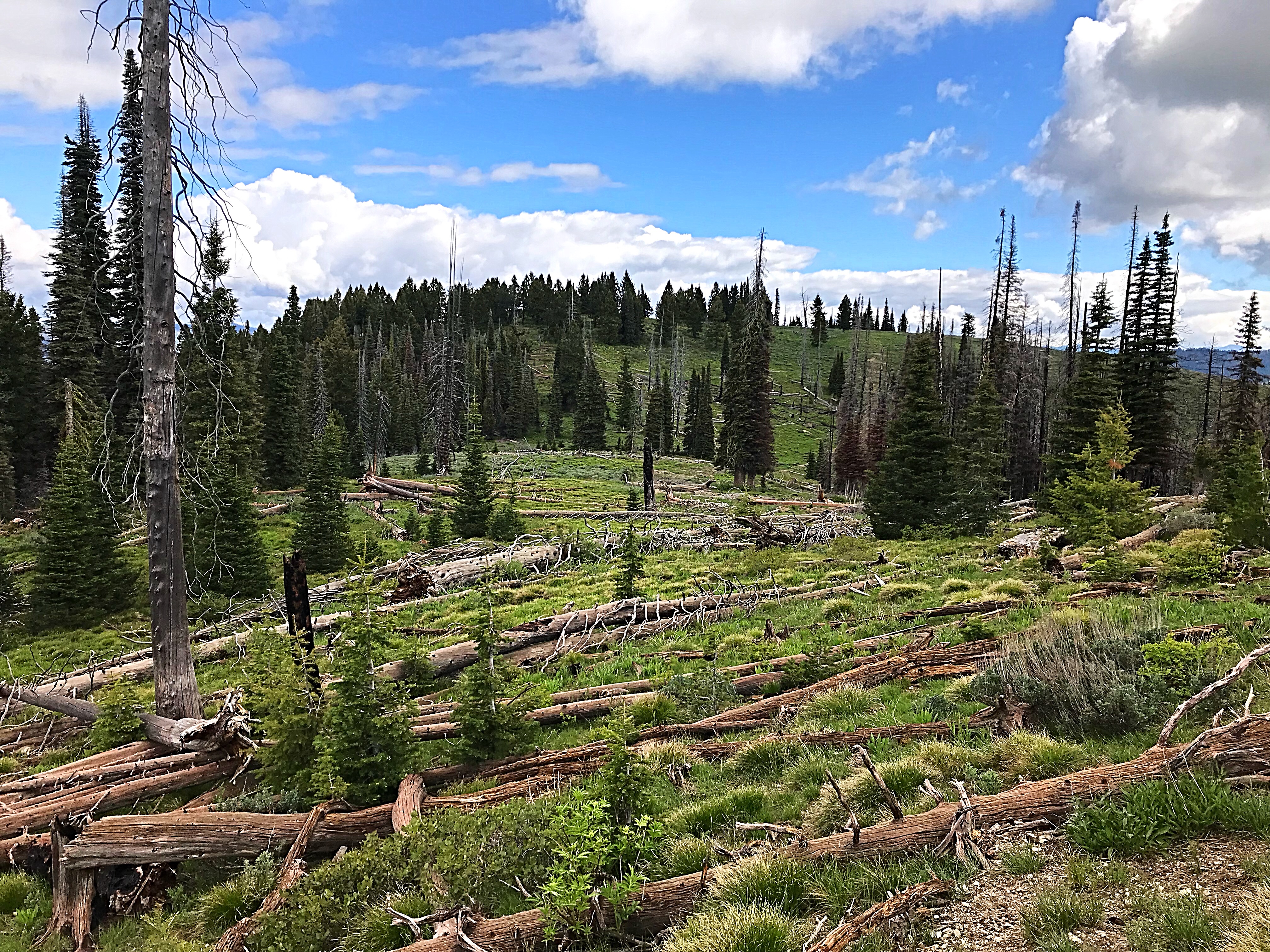
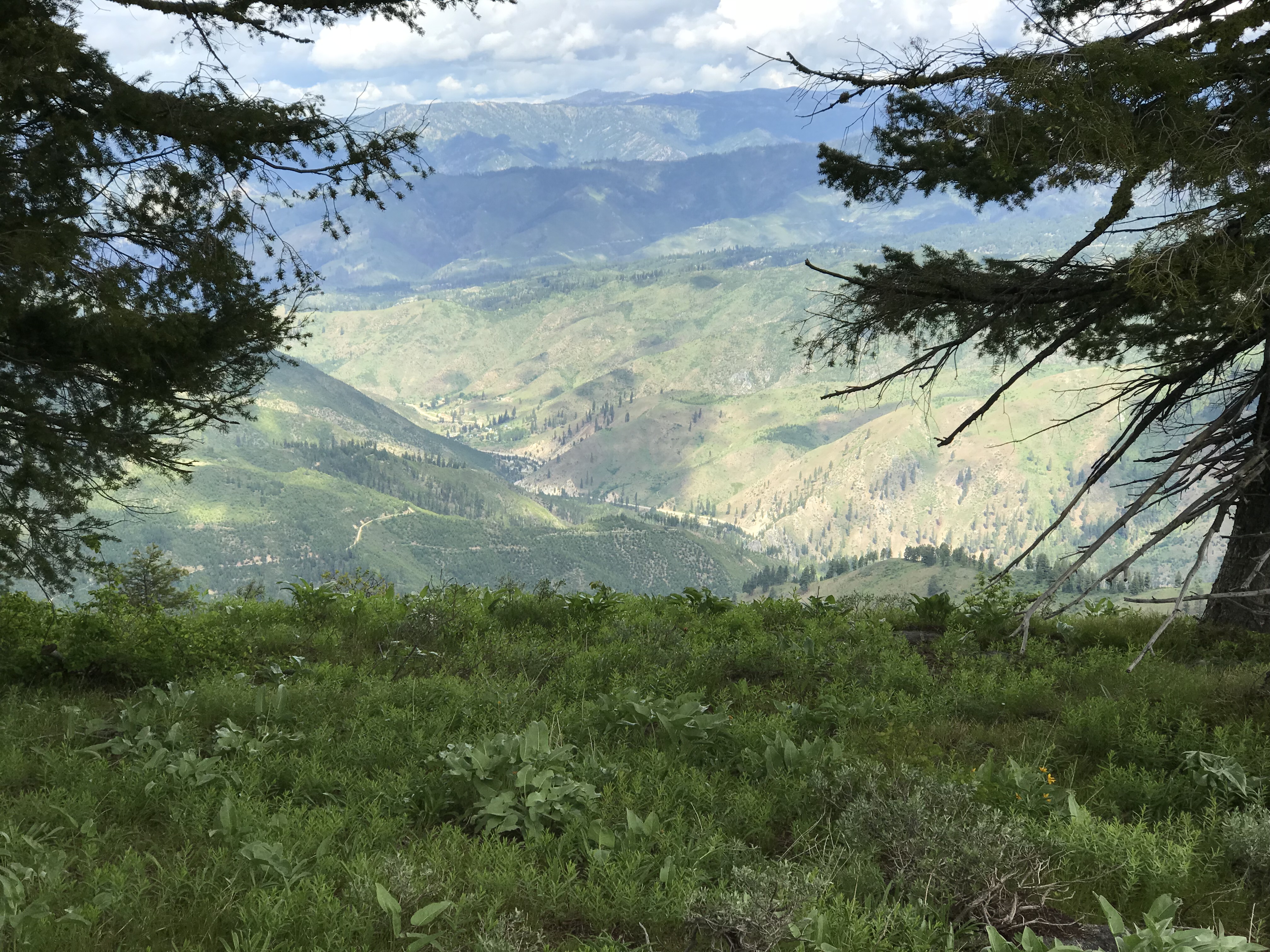
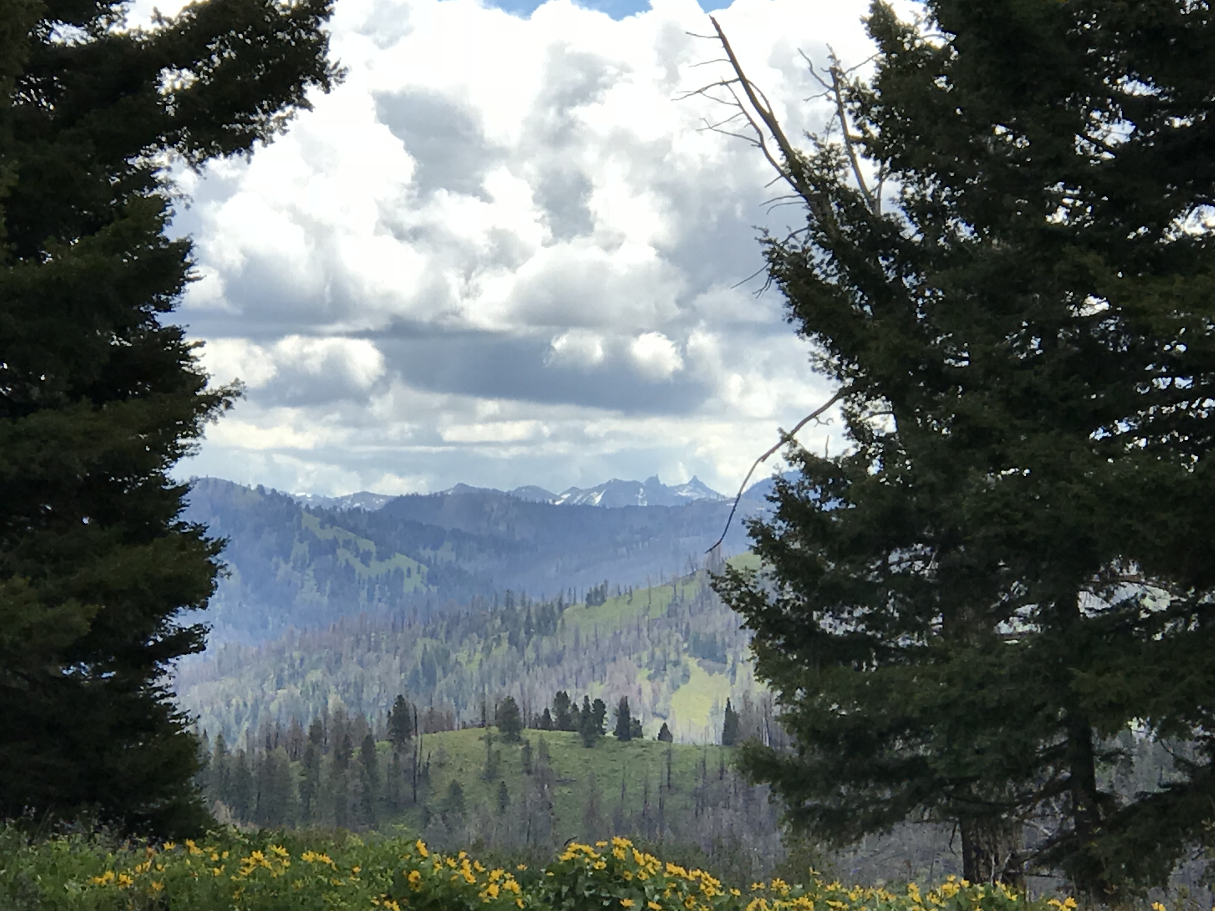
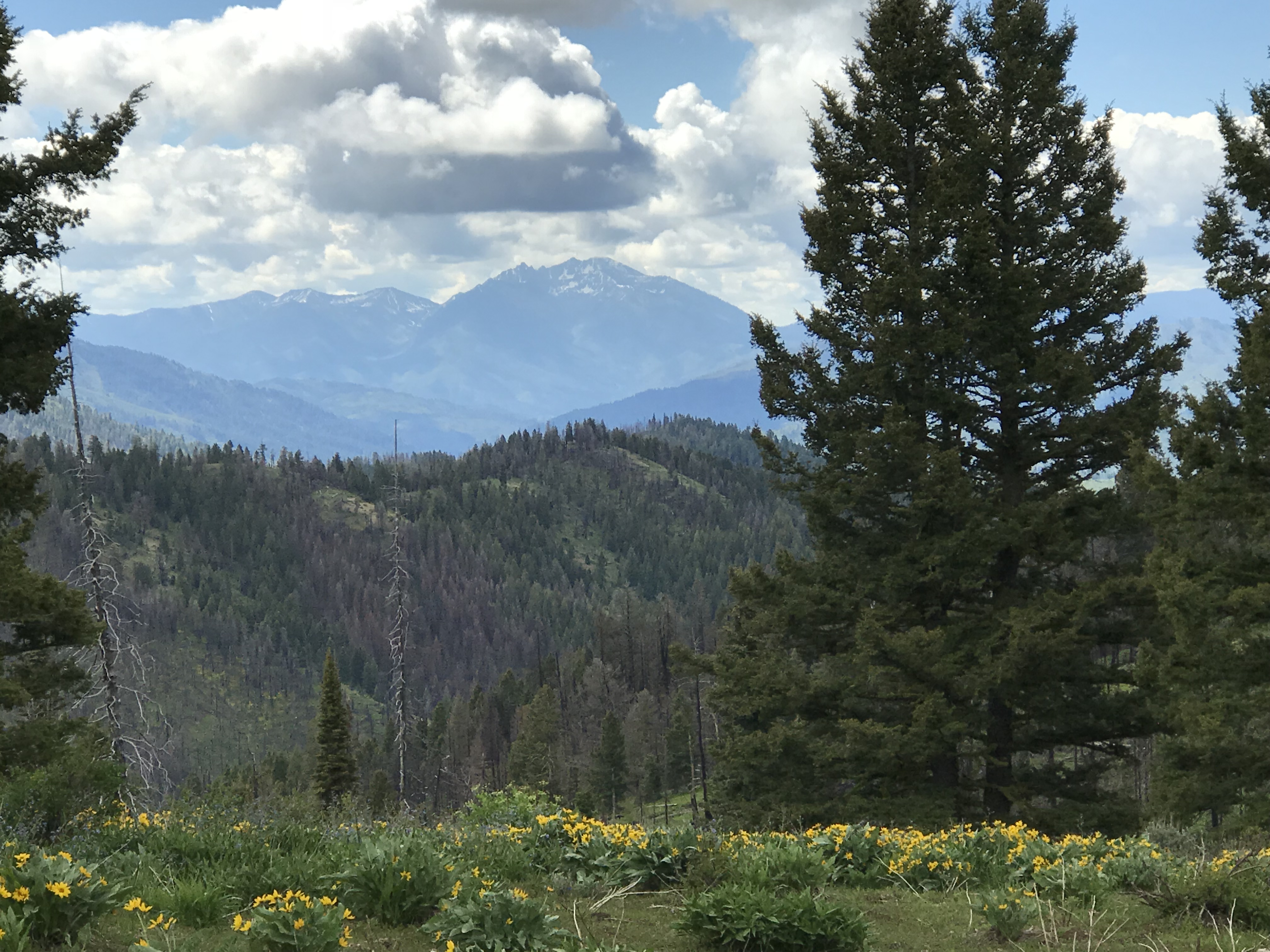
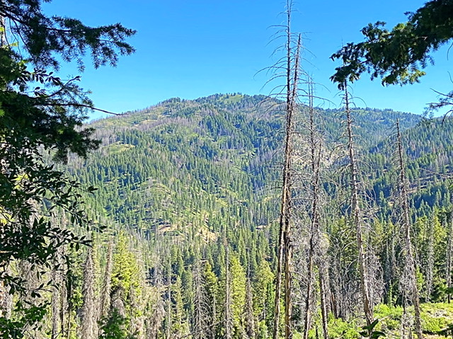
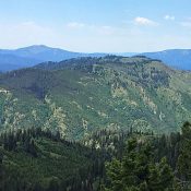
Archie Mountain is located ESE of Lowman, Idaho. The mountain has three broad, rounded summits, covered by a mix of forest and meadow. The middle summit is the high point. The peak rises abruptly for over 3,500 feet out of the South Fork Payette River Canyon. Although there are trees on the summit, openings in the forest afford incredible views from the summit: the infamous Rakers in the Sawtooths; Steel Mountain, the Trinity Mountains, Sunset Mountain, and Pilot Peak in the Boise Mountains; and dozens of Salmon River Mountains summits are all visible. Furthermore, Archie’s summit of trees and meadow is a beautiful park-like spot for a picnic. Two routes are set out below. USGS Jackson Peak
West/South Ridge, Class 2
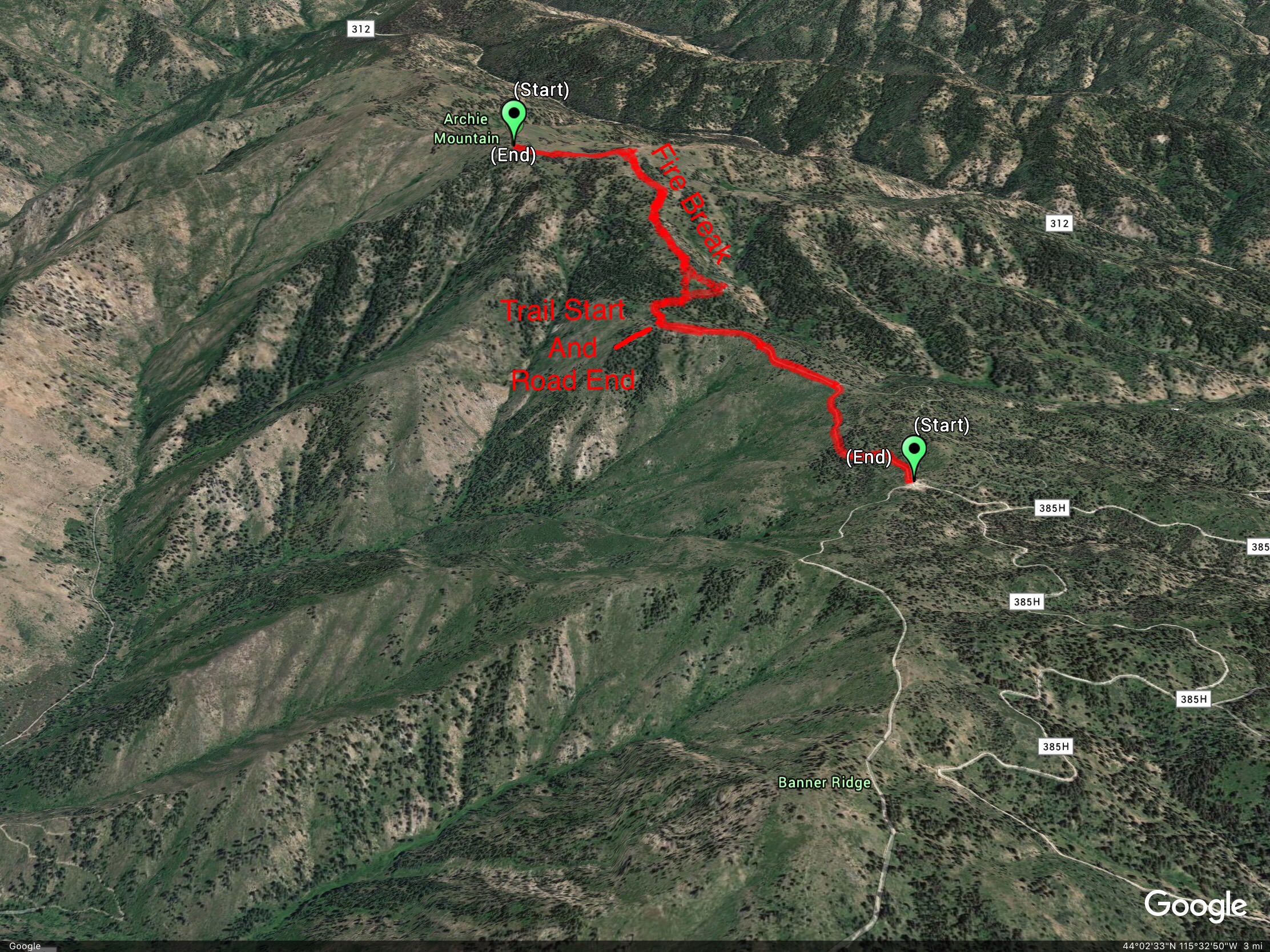
This route is accessed from ID-21 24.0 miles west of Idaho City. Turn east onto FS-385 across from the Banner Ridge Park Area and Ski Area parking lot. Follow FS-385 north to the top of Banner Ridge and then east along the ridge until you reach FS-385G2. When dry, you can follow this road all the way to the base of the peak’s West Ridge with a high-clearance vehicle. Note that there are many roads in this area. Road locations are not all correctly shown on the Boise National Forest Map as some of the roads are closed and others have been relocated. The peak can also be approached from Little Beaver Creek, but this road was closed for logging operations in 2018.
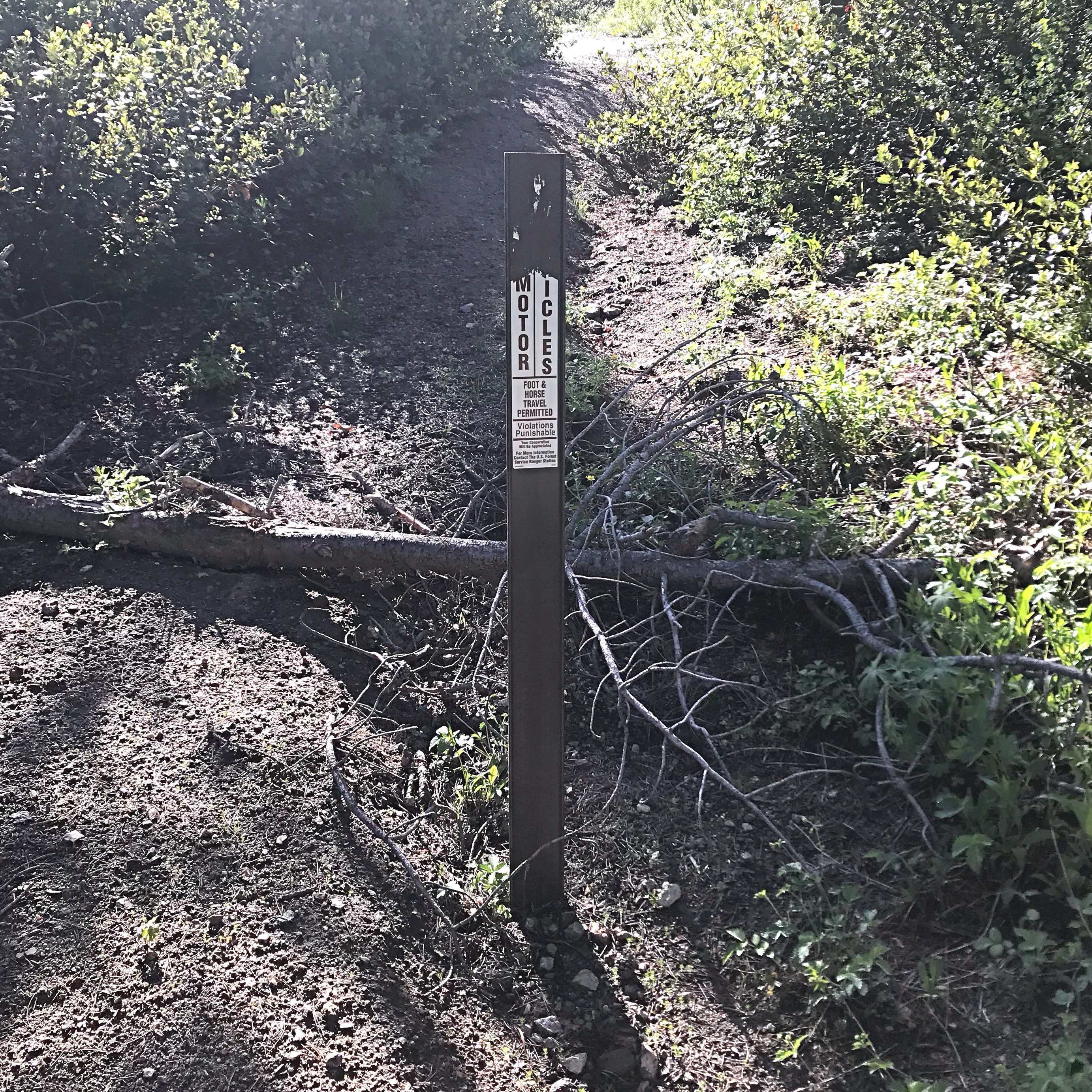
We parked a mile short of the end of FS-385G2 to add a little distance to our climb. At the base of the West Ridge, an unofficial trail switchbacks up the ridge. Follow this trail until you reach a scarred area on your left running up the ridge. This scar is a fire break built during the great Lowman Fire of 1989. This scar climbs all the way up the West Ridge to Archie’s [lower] South Summit. While there are numerous water bar trenches and downed trees, the old fire break is clear of brush and is a good ascent line. From the South Summit, turn north and cross the grass-covered saddle to the summit. There is a small cairn and a summit register on top. One-way stats: 1.1 miles with 900 feet of elevation gain.
East Ridge, Class 2
Access this peak via FS-312/Graham GS Road [(B)(2.1) on Page 153]. Graham GS Road is a long, winding road, which eventually leads to the upper reaches of the North Fork Boise River. The road provides a good access route to the Southeast Side of the mountain. Take ID-21 from Boise for 55 miles to the turn for FS-384 at the [signed] Edna Creek Campground turn. Turn onto the excellent FS-384 gravel road and follow it to FS-312 in 4.0 miles. FS-312 is a good road, but is not recommended for passenger vehicles. The main intersections are signed for Graham GS Road. Park where the road crosses the pass between Archie Mountain and Peak 7561.
While I have not yet climbed the peak from Graham GS Road, I have scouted the route and viewed it from Jackson Peak and Peak 7561. Since the pass is just over 7,000 feet, this is a higher starting point than the West/South Ridge Route. The peak’s long winding East Ridge looks passable. This route will be roughly 4 miles round-trip with 500 feet of elevation gain.
Additional Resources
Regions: Boise Mountains->WESTERN IDAHO
Mountain Range: Boise Mountains
Year Climbed: 2018
Longitude: -115.47409 Latitude: 44.04479
