Elevation: 9,190 ft
Prominence: 210
Climbing and access information for this peak is on Page 307 of the book. Updated July 2020
Foss Mountain, named by miners, is located west of the main Lemhi Range Crest. A mining road leads from the Little Lost River Valley nearly to the summit. It was in terrible shape for driving in 1981 and has likely deteriorated with the passing of time. The road provides trail-like access at a minimum for a high start if you are interested in reaching the main Lemhi Range Crest between Bell Mountain and Diamond Peak. USGS Bell Mountain
Access
I drove nearly to the summit of Foss Mountain in 1980 and 1981 with a rugged Jeep CJ7. The Forest Service has since closed the road to 4WDs,stating: “The Foss Mountain Trail is 2.4 miles long. It begins at Junction Of 40402 and ends at At End Of Route At 2.3843 Miles.. The trail is open for the following uses: Horseback Riding, Off Highway Vehicles (OHV) less than or equal to 50 inches wide.”
Routes
Class 1 via the road (see Page 307).
Class 2 from Peak 10681.
Larry Prescott climbed the peak on an epic 13-mile, 7,300-foot gain, 6-peak day, which saw him traverse the connecting ridge from Peak 10681. See Larry’s trip report: Lemhi Enchainment, Little Sister to Foss Mountain.
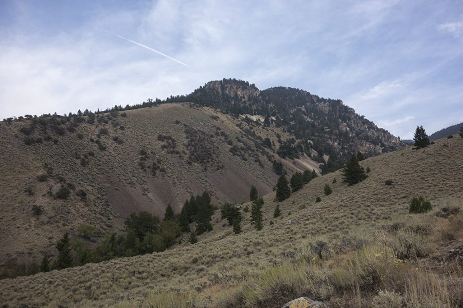
Foss Mountain. Larry Prescott Photo
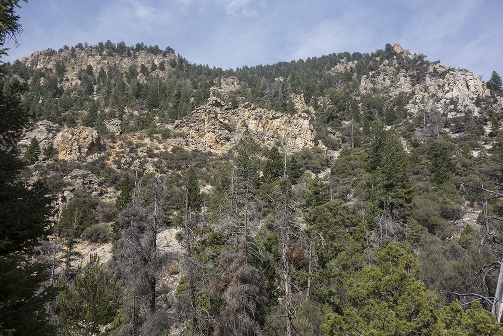
Larry Prescott reported he shaved distance of his descent by dropping off this slope. Larry Prescott Photo
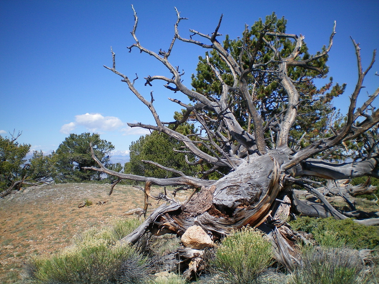
The summit of Foss Mountain. The large downed tree is the high point. Livingston Douglas Photo
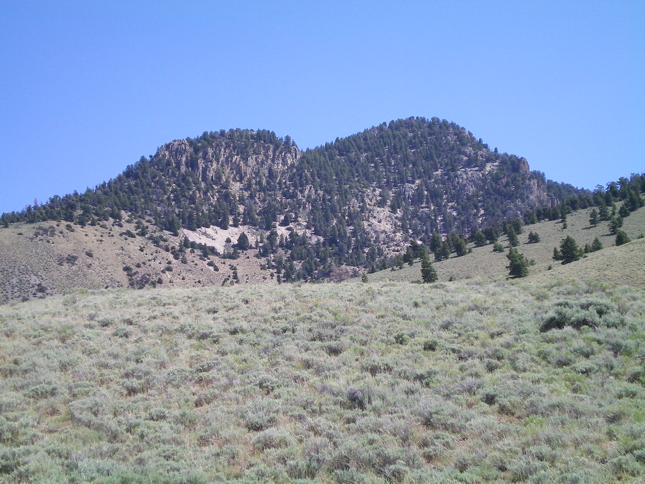
Foss Mountain as viewed from the sagebrush at the mouth of the canyon WSW of the peak. The right hump is the summit. The left hump is a bump on the West Ridge. Livingston Douglas Photo
Additional Resources
Regions: EASTERN IDAHO->Lemhi Range
Mountain Range: Lemhi Range
Year Climbed: 1980, 1981
Longitude: -113.18309 Latitude: 44.1929