Elevation: 6,109 ft
Prominence: 329
This peak is not in the book. I updated this post with additional access information and a map. Updated November 2021
Gilman Butte is a ranked summit that is located just east of Rocky Butte. It is a rocky outcrop, not a typical flat-topped butte. Gilman Butte is located on the south side of Croy Creek Road and Gilman Flat, due west of Bellevue, ID. It is a fun scramble from a saddle to its west. There is a lot of private land in this area, so consult the BLM Fairfield map before tackling this climb. Beware of rattlesnakes and copperheads in this area. USGS Bellevue
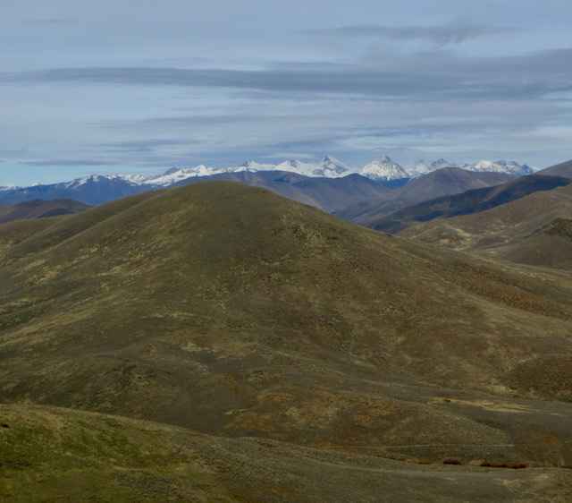
Gilman Butte as viewed from the summit of Rocky Butte. Livingston Douglas Photo
West Face, Class 2
Access
Same as for the east face of Gilman Hill and west face of Rocky Butte. This climb is the next leg of a traverse from Rocky Butte to Gilman Butte and back.
The Climb
From the connecting saddle with Rocky Butte, scramble east up a sagebrush slope to the rocky summit. There is a nice cairn on top and a magnificent view of the ranches in Gilman Flat.
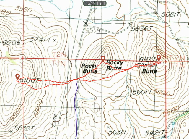
My GPS tracks for Gilman Hill, Rocky Butte, and Gilman Butte. The Gilman Hill climb covered 0.9 miles with 531 feet of elevation gain round trip. The Rocky Butte/Gilman Butte route covered 1.4 miles with 580 feet of elevation gain round trip.
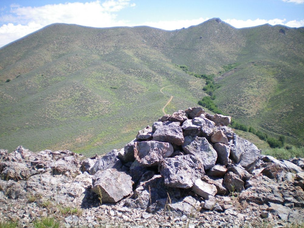
The summit cairn atop Gilman Butte, looking northeast up a side gulch. Livingston Douglas Photo
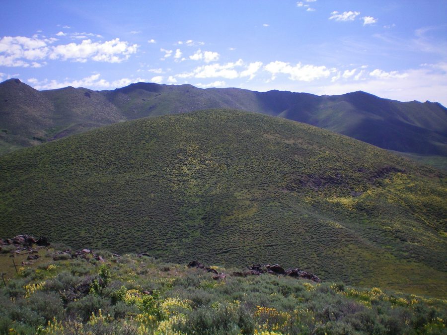
Gilman Butte as viewed from Rocky Butte. Steve Mandella Photo
Additional Resources
Regions: Smoky Mountains->WESTERN IDAHO
Mountain Range: Smoky Mountains
Longitude: -114.36789 Latitude: 43.45539