Elevation: 6,080 ft
Prominence: 700
This peak is not in the book. Published November 2020
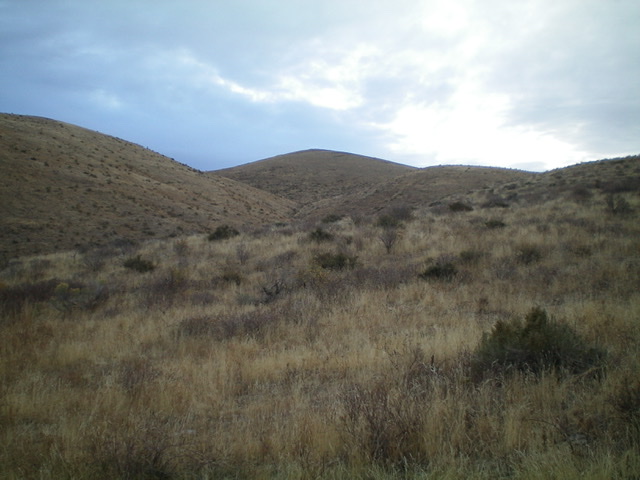
Lookout Mountain is a handsome summit that is located just northwest of Holbrook. It separates Rock Creek (and ID-37) from Meadow Brook Creek. It is most easily climbed via a BLM road and a short hike up an old 2-track road to the summit. USGS Holbrook
Access
From the [signed] junction of Meadow Brook Road/BLM-027 at ID-37, drive 2.3 miles southwest on BLM-027 to a [signed] junction with BLM-163. Park at this road junction (5,075 feet). BLM-163 is not shown on the National Forest Map or the USGS topo map. It DOES appear on the BLM Travel Map for the Curley/Deep Creek Area. Be careful to not accidentally hike (or drive) up BLM-663, which is located only 50 yards or so farther up Meadow Brook Road at a [signed] junction on the same side of the road. It goes in a completely different direction and will not get you to the top of Lookout Mountain.
Northwest Side, Class 1
The Climb
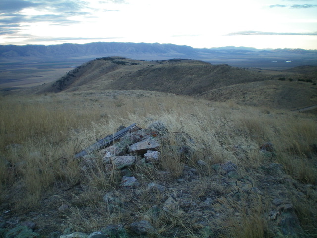
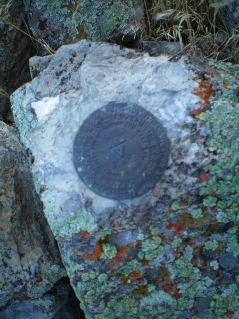
From the road junction, hike (or drive) southeast up BLM-163 (a 4WD 2-track jeep road) all the way to a ridge saddle just south of the summit. BLM-163 has a 30-foot (vertical) dip to a corral about 2/3 of the way up to the saddle. From the ridge saddle, hike up an old 2-track road (closed to motorized vehicles) to the summit of Lookout Mountain. It is about two miles from Meadow Brook Road to the top. The summit has a torn-down cairn, triangulation posts, and a USGS benchmark.
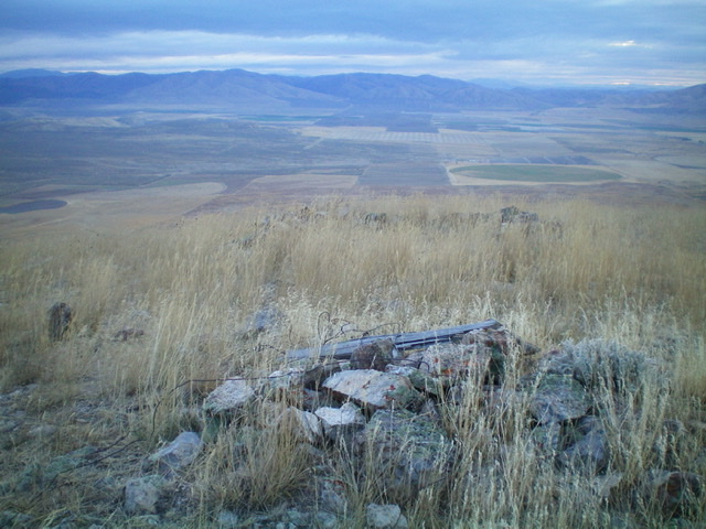
Looking northeast from the summit of Lookout Mountain to the farmland below. Livingston Douglas Photo
Additional Resources
Regions: SOUTHERN IDAHO->Sublett Range
Mountain Range: Sublett Range
Longitude: -112.72079 Latitude: 42.18709
