Elevation: 8,180 ft
Prominence: 1,200

Climbing and access information for this peak is on Page 111. The book has the wrong elevation. The correct elevation is 8,180 feet. Updated January 2020
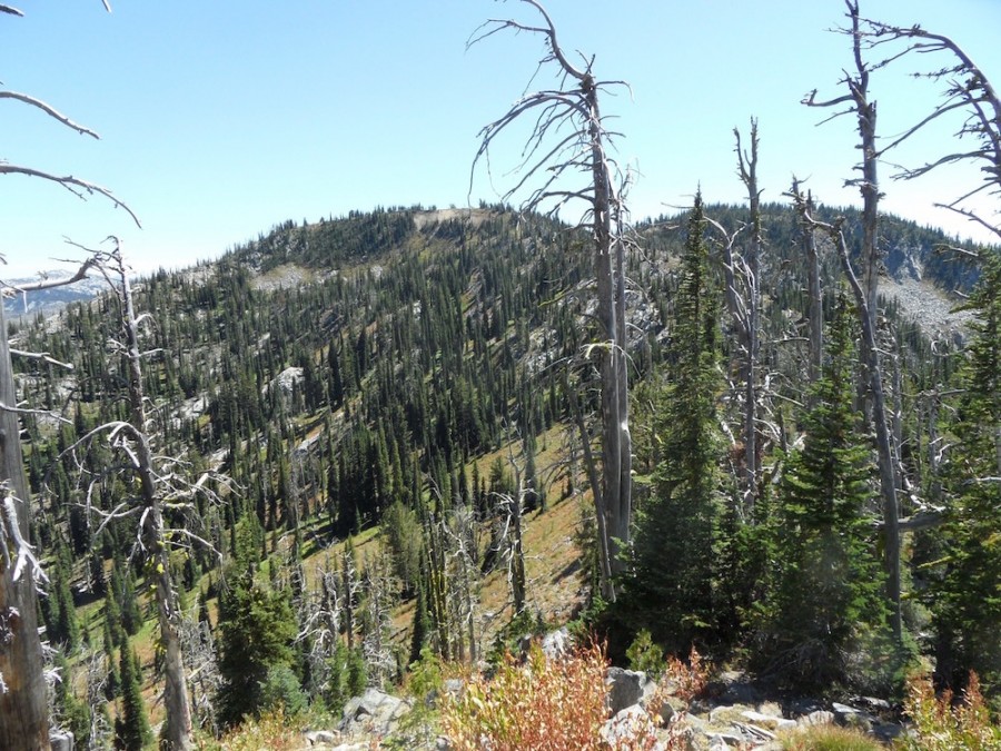
Peak 8180 is the highest point of the Grass Mountains Range and is located just south of Peak 8156/Grassy Twin Peak and Frog Lake. Interestingly, this peak is one of 14 Idaho peaks with an elevation of 8,180 feet. See John Platt’s trip report linked below for additional information. John calls the peak Frog Mountain. USGS Hazard Lake
Access
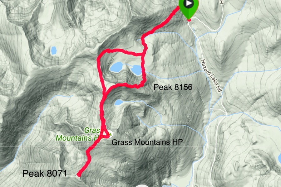
The recommended route is a ridge traverse from the trail that crosses the Grass Mountains Crest and can be easily accessed from the trail that leads to the lake. This trail leaves Hazard Lake Road 18.7 miles north of ID-55. See [(B)(1)(b) on Page 134] or the Hard Peak or Grassy Twin Peak pages for more details. The Frog Lake Trail has not been maintained in years and is nearly impossible to follow.
North Ridge, Class 2-3
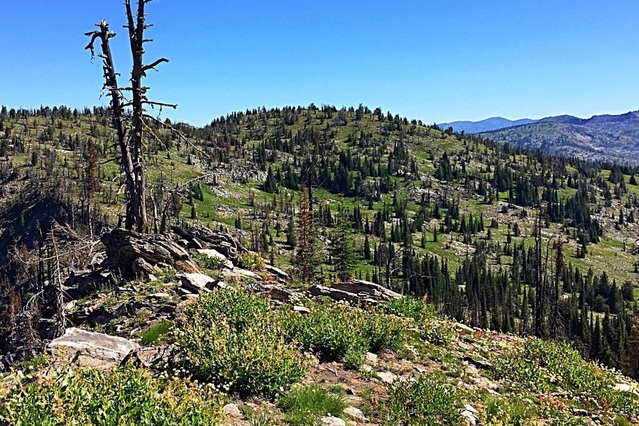
The difficulty level of this route depends upon the route that you take down the steep step into the saddle north of the peak. From the pass, follow the ridge south across broken granite slabs and a scattering of trees toward Grassy Twin Peak’s West Ridge. You will likely spot remnants of the Frog Lake Trail along the way. As you approach the West Ridge, veer toward the saddle, crossing Grassy Twin Peak’s West Ridge at 7,800 feet. Once on the south side of Grassy Twin, negotiate a steep, downhill step to reach the connecting ridge. Once you are past this obstacle, you will see an obvious line to the summit that is occasionally blocked by downed trees.
Additional Resources
Mountain Range: Western Salmon River Mountains
Year Climbed: 2016
Longitude: -116.201769 Latitude: 45.15349


