Elevation: 3,950 ft
Prominence: 60
Turkey Head Butte is located just east of ID-46 and below the south edge of the Bennett Hills. A badly-rutted BLM road gets you close to the peak and a 2-track road almost puts you on the summit. USGS Thorn Creek SW
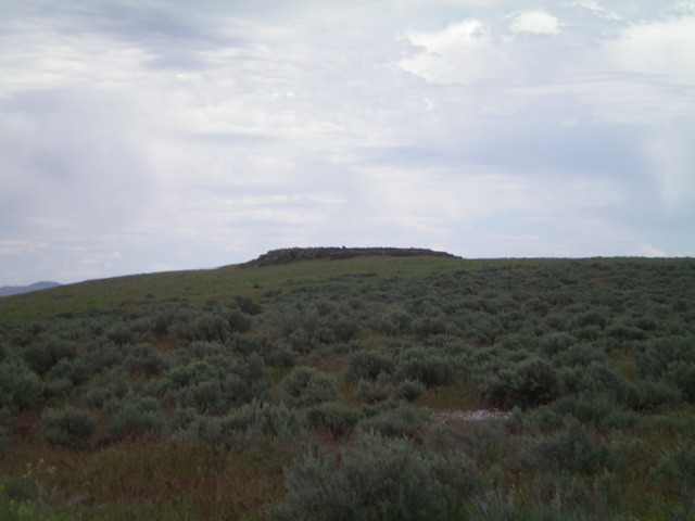
Turkey Head Butte as viewed from the west. Livingston Douglas Photo
Access
From the junction of US-20 and ID-46, drive south on ID-46 for 21.7 miles (8.0 miles south of the City of Rocks Road) to [signed] Turkey Lake Road. Turn left/east onto Turkey Lake Road and drive 0.9 miles to an unsigned junction with a 2-track road that heads right/south up toward the summit cap. Park at this junction (3,880 feet) and hike up the 2-track road.
North Face, Class 2
The Climb
From the road junction, hike south on the 2-track road for about 1/8 mile to reach the summit area. The road ends here. Bushwhack east through some easy field grass then scramble up some boulders to reach the cairned high point of Turkey Head Butte.
Additional Resources
Regions: SNAKE RIVER PLAIN
Mountain Range: Bennett Mountain Hills
Longitude: -111.67339 Latitude: 43.0555